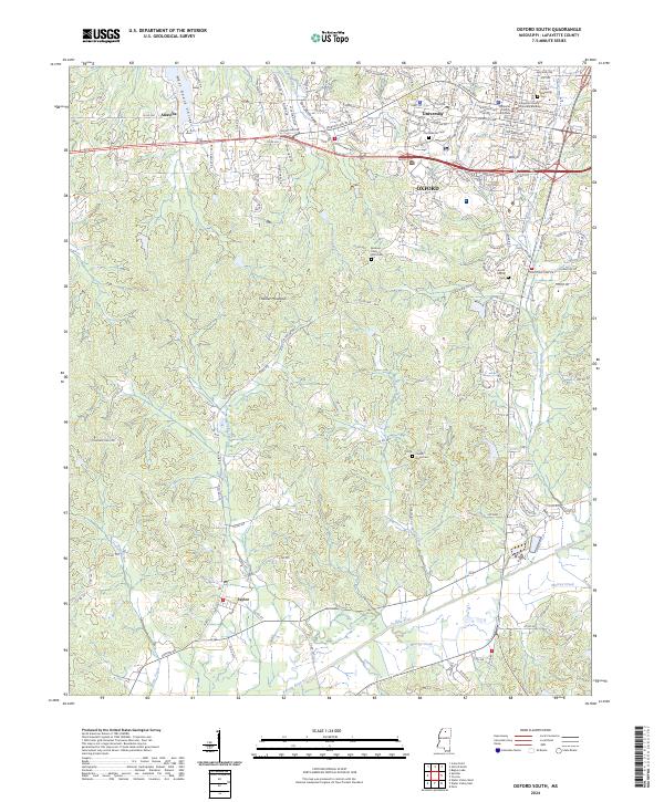
2024 Map of Oxford South
USGS Topo · Published 2024About this map
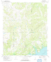
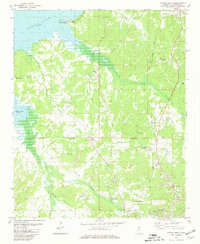
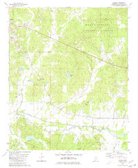
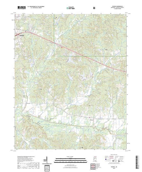
Oxford serves as the academic and civic heart of this landscape, dominated by the campus at University and the prominent Lafayette County Courthouse. The city's northern edge is densely mapped with residential streets and local landmarks, including the Oxford Memorial Cem and the historic Confederate Cem located near the campus. South of the urban center, the terrain transitions into a series of valleys and ridges, notably marked by Thacker Mountain and the winding course of the Yocona River and Murray Creek.
Find a feature on this map
192 named features on this map. Tap any name to fly to it.
Don’t see what you’re looking for? This feature index may not catch every label — zoom into the map to look around manually.
Map Details
Editions of this 2024 Oxford South Map
This is the sole edition of this map. No revisions or reprints were ever made.
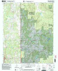
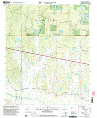
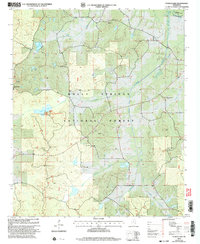
Historical Maps of Taylor Through Time
26 maps found
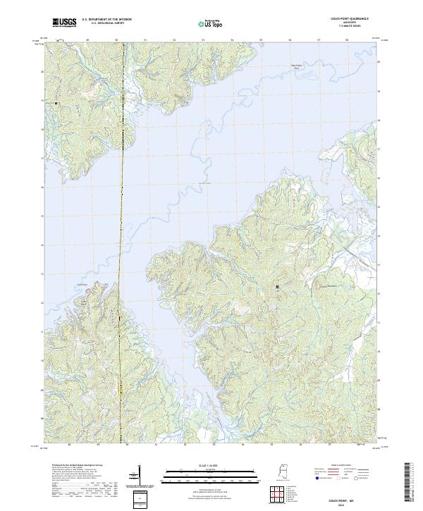
1942 Denmark
Lafayette County, MS
1943 Denmark
Lafayette County, MS
1971 Laws Hill
Lafayette County, MS
1971 Tyro
Lafayette County, MS
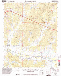
1980 Bagley Lake
Lafayette County, MS
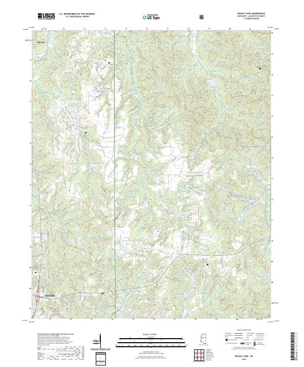
1980 Coles Point
Lafayette County, MS
1980 Denmark
Lafayette County, MS
1980 Oxford North
Lafayette County, MS
1980 Oxford South
Lafayette County, MS
1980 Puskus Lake
Lafayette County, MS
1980 Splinter
Lafayette County, MS
1980 Yocona
Lafayette County, MS
2000 Bagley Lake
Lafayette County, MS
2000 Denmark
Lafayette County, MS
2000 Puskus Lake
Lafayette County, MS
2000 Yocona
Lafayette County, MS
2024 Bagley Lake
Lafayette County, MS
2024 Coles Point
Lafayette County, MS
2024 Denmark
Lafayette County, MS
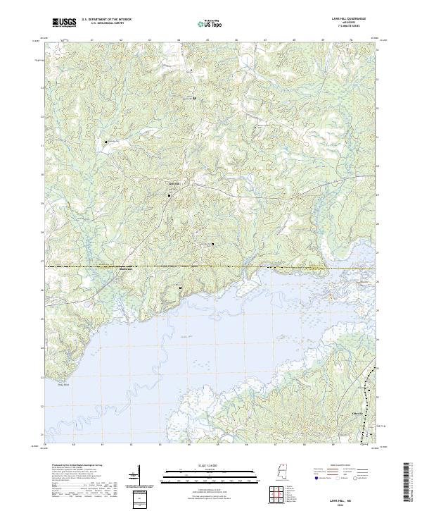
2024 Laws Hill
Lafayette County, MS
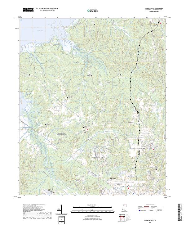
2024 Oxford North
Lafayette County, MS
2024 Oxford South
Lafayette County, MS
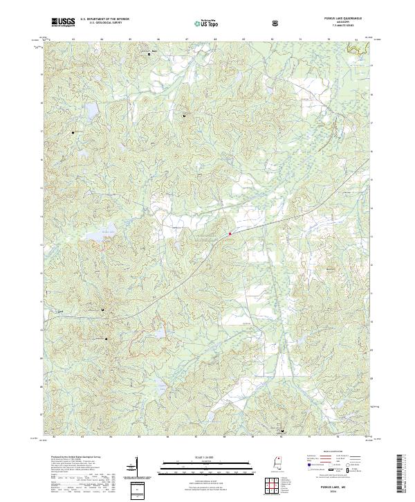
2024 Puskus Lake
Lafayette County, MS
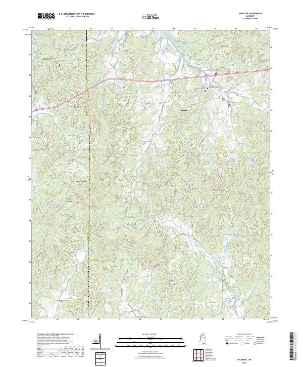
2024 Splinter
Lafayette County, MS
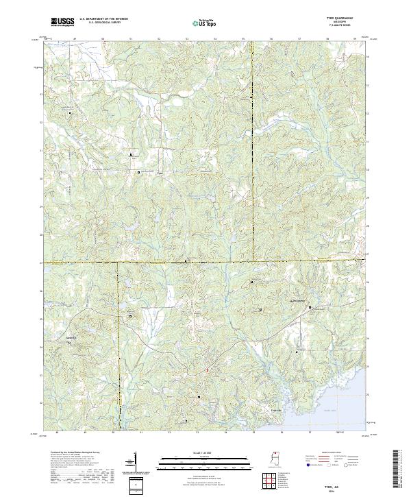
2024 Tyro
Lafayette County, MS
2024 Yocona
Lafayette County, MS