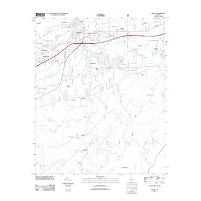
2011 Map of Oxford
USGS Topo · Published 2011About this map
Oxford and its neighboring communities of Hobson City and Lardent occupy a landscape where the flatlands of the Anniston-Calhoun County Airport meet the rising slopes of Brock Mountain and Oak Mountain. The northern half of the map is defined by dense suburban growth and industrial infrastructure, including the Anniston Speedway and the leisure waters of Oxford Lake. In contrast, the southern reaches transition into a more rural and mountainous terrain, dominated by the peaks of Kentuck Mountain and Kilgoe Mountain. This area is threaded by the significant winding path of Choccolocco Creek, which is fed by several tributaries like Wolfskull Creek and Salt Creek. The cultural history of the region is anchored by numerous burial grounds, such as Oxford Memorial Gardens Cemetery and Antioch Cemetery, which serve as quiet landmarks among the residential developments of Forest Hills, Cheaha Acres, and McAding.
Find a feature on this map
116 named features on this map. Tap any name to fly to it.
Don’t see what you’re looking for? This feature index may not catch every label — zoom into the map to look around manually.
Map Details
Editions of this 2011 Oxford Map
This is the sole edition of this map. No revisions or reprints were ever made.
Other maps of this area

1891 · Ashland
USGS Topo · 1:125,000

1900 · Anniston
USGS Topo · 1:125,000

1947 · Oxford
USGS Topo · 1:24,000

1947 · Anniston
USGS Topo · 1:24,000

1947 · Eulaton
USGS Topo · 1:24,000

1947 · Munford
USGS Topo · 1:24,000

1950 · Anniston
USGS Topo · 1:62,500

1953 · Atlanta
USGS Topo · 1:250,000

1954 · Choccolocco
USGS Topo · 1:24,000

1956 · Munford
USGS Topo · 1:24,000