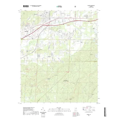
2021 Map of Oxford
USGS Topo · Published 2021About this map
Oxford and southern Anniston sit at the northern edge of this study, where the developed corridors of Hamric Dr E and the Norfolk Southern rail line transition into the dense woodlands of the Talladega National Forest. The landscape is defined by its topographic extremes, from the industrial and residential centers near Oxford Lake to the rising summits of Kentucky Mtn and Blue Mtn in the south. Several established settlements and small crossroads communities appear throughout the area, including Lardent, McAding, and Hicks.
Find a feature on this map
98 named features on this map. Tap any name to fly to it.
Don’t see what you’re looking for? This feature index may not catch every label — zoom into the map to look around manually.
Map Details
Editions of this 2021 Oxford Map
This is the sole edition of this map. No revisions or reprints were ever made.
Other maps of this area

1891 · Ashland
USGS Topo · 1:125,000

1900 · Anniston
USGS Topo · 1:125,000

1947 · Oxford
USGS Topo · 1:24,000

1947 · Anniston
USGS Topo · 1:24,000

1947 · Eulaton
USGS Topo · 1:24,000

1947 · Munford
USGS Topo · 1:24,000

1950 · Anniston
USGS Topo · 1:62,500

1953 · Atlanta
USGS Topo · 1:250,000

1954 · Choccolocco
USGS Topo · 1:24,000

1956 · Munford
USGS Topo · 1:24,000