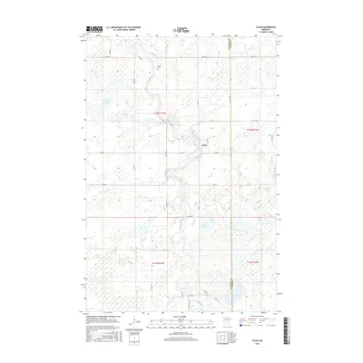
2016 Map of Oylen
USGS Topo · Published 2016About this map
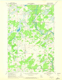
The Crow Wing River winds through this central Minnesota landscape, defining the character of the borderlands between Wadena Co and Cass Co. At the heart of the region lies the small settlement of Oylen, positioned near a distinct bend in the river. This 2016 survey captures a rural environment where land use is heavily influenced by a complex network of wetlands and tributaries. Significant water bodies like Strike Lake, Granning Lake, and Farnham Lake punctuate the grid of local roads, such as Cass Line Rd and Co Rd 139. For those researching local family history, the Lyons Cem is a notable landmark north of the river, while the drainage patterns of Beaver Cr and Farnham Cr illustrate the low-lying, water-rich nature of the terrain that has shaped local development for generations.
Find a feature on this map
38 named features on this map. Tap any name to fly to it.
Don’t see what you’re looking for? This feature index may not catch every label — zoom into the map to look around manually.
Map Details
Editions of this 2016 Oylen Map
This is the sole edition of this map. No revisions or reprints were ever made.
Other maps of this area
1919 · Leader
USGS Topo · 1:62,500

1953 · Brainerd
USGS Topo · 1:250,000

1957 · Brainerd
USGS Topo · 1:250,000
1958 · Brainerd
USGS Topo · 1:250,000
1965 · Brainerd
USGS Topo · 1:250,000
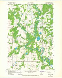
1966 · Staples NE
USGS Topo · 1:24,000
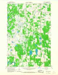
1966 · Motley NW
USGS Topo · 1:24,000
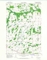
1966 · Aldrich North
USGS Topo · 1:24,000
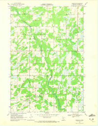
1969 · Nimrod SW
USGS Topo · 1:24,000
1969 · Nimrod
USGS Topo · 1:24,000