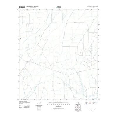
2010 Map of Oyster Bayou
USGS Topo · Published 2010About this map
The low-lying coastal prairie of Chambers County is defined by an intricate network of slow-moving waterways and industrial land use in this 2010 survey. Oyster Bayou and its companion, the East Fork Oyster Bayou, carve through the eastern portion of the landscape, while the western side is marked by the winding courses of East Fork Double Bayou and Chimney Bayou. The presence of the Oyster Bayou Oil Field highlights the area's ongoing importance to the regional petroleum industry, contrasting with the quiet historical significance of Jackson Cemetery located along Whites Ranch Rd. This intersection of extractive industry and family history is typical of the Texas Gulf Coast, where large ranching tracts such as those served by Smith Point Rd have long coexisted with oil exploration.
Find a feature on this map
10 named features on this map. Tap any name to fly to it.
Don’t see what you’re looking for? This feature index may not catch every label — zoom into the map to look around manually.
Map Details
Editions of this 2010 Oyster Bayou Map
This is the sole edition of this map. No revisions or reprints were ever made.
Other maps of this area
1931 · High Island
USGS Topo · 1:24,000
1931 · Frozen Point
USGS Topo · 1:24,000
1933 · Frozen Point
USGS Topo · 1:31,680
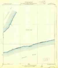
1933 · Whites Lake
USGS Topo · 1:31,680
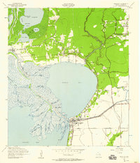
1942 · Anahuac
USGS Topo · 1:24,000
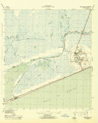
1943 · High Island
USGS Topo · 1:31,680
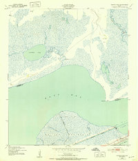
1943 · Frozen Point
USGS Topo · 1:24,000
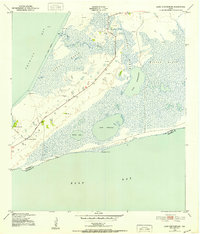
1943 · Lake Stephenson
USGS Topo · 1:24,000
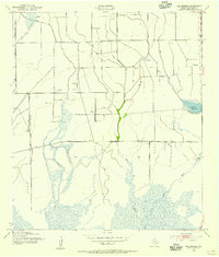
1943 · Sea Breeze
USGS Topo · 1:24,000
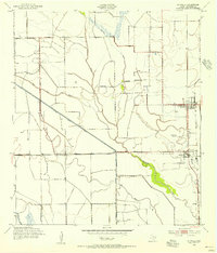
1943 · Stowell
USGS Topo · 1:24,000