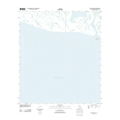
2012 Map of Oyster Bayou
USGS Topo · Published 2012About this map
The Oyster Bayou Lighthouse stands at the maritime threshold of the Louisiana coast, marking the transition from the winding waterways of Terrebonne Parish to the open waters of the Gulf of Mexico. This coastal landscape is defined by the intricate network of the Oyster Bayou, where the marshy shoreline fragments into a complex of small ponds and tidal channels. The map illustrates a contemporary moment in the shifting geomorphology of the Gulf Coast, showing how the land breaks away into the sea. It is a vital record for those studying the evolving shoreline and the isolated navigational markers that have long guided traffic through these southern reaches of the Louisiana wetlands.
Find a feature on this map
3 named features on this map. Tap any name to fly to it.
Don’t see what you’re looking for? This feature index may not catch every label — zoom into the map to look around manually.
Map Details
Editions of this 2012 Oyster Bayou Map
This is the sole edition of this map. No revisions or reprints were ever made.
Other maps of this area

1932 · Lake Decade
USGS Topo · 1:62,500

1935 · Oyster Bayou
USGS Topo · 1:62,500

1945 · New Orleans
USGS Topo · 1:250,000

1957 · Lake Decade
USGS Topo · 1:62,500
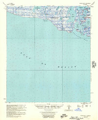
1957 · Oyster Bayou
USGS Topo · 1:62,500

1957 · Point Au Fer
USGS Topo · 1:62,500

1963 · New Orleans
USGS Topo · 1:250,000

1966 · New Orleans
USGS Topo · 1:250,000
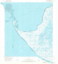
1970 · Point Au Fer
USGS Topo · 1:24,000
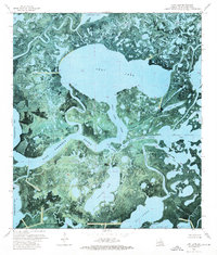
1974 · Lost Lake
USGS Topo · 1:24,000