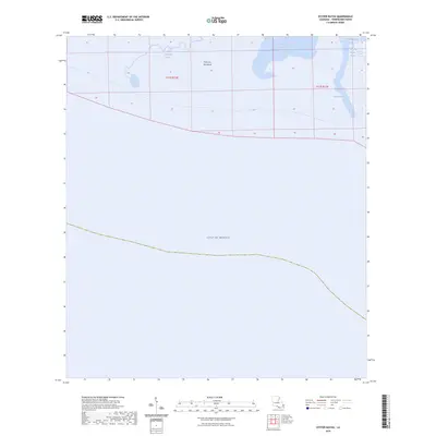
2024 Map of Oyster Bayou
USGS Topo · Published 2024About this map
Point Au Fer Island dominates this coastal landscape where the freshwaters of the Terrebonne marshland meet the Gulf of Mexico. The area is defined by a complex network of tidally influenced waterways, including the winding Little Mosquito Bayou and the more prominent Oyster Bayou to the east. This maritime environment shows the transition between the brackish waters of Bay Castagnier and the open expanse of Fourleague Bay. The map reveals a remote wetland territory characterized by its hydrographic features rather than human settlement, preserving the natural drainage patterns of Vouvia Bayou and the surrounding marsh. This 2024 survey captures the precise intersection of land and sea in a region sensitive to coastal change, providing a detailed record of the islands and inlets as they existed in the early 21st century.
Find a feature on this map
9 named features on this map. Tap any name to fly to it.
Don’t see what you’re looking for? This feature index may not catch every label — zoom into the map to look around manually.
Map Details
Editions of this 2024 Oyster Bayou Map
This is the sole edition of this map. No revisions or reprints were ever made.
Other maps of this area
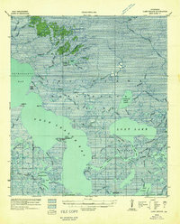
1932 · Lake Decade
USGS Topo · 1:62,500
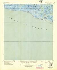
1935 · Oyster Bayou
USGS Topo · 1:62,500
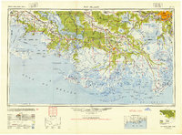
1945 · New Orleans
USGS Topo · 1:250,000
1957 · Lake Decade
USGS Topo · 1:62,500
1957 · Oyster Bayou
USGS Topo · 1:62,500
1957 · Point Au Fer
USGS Topo · 1:62,500
1963 · New Orleans
USGS Topo · 1:250,000
1966 · New Orleans
USGS Topo · 1:250,000
1970 · Point Au Fer
USGS Topo · 1:24,000
1974 · Lost Lake
USGS Topo · 1:24,000