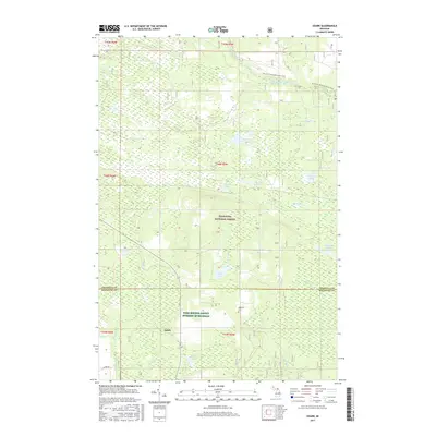
2017 Map of Ozark
USGS Topo · Published 2017About this map
Ozark and the surrounding wilderness of the Hiawatha National Forest define this landscape along the border of Chippewa and Mackinac Counties. This region is characterized by an intricate network of wetlands and water bodies, including Boaz Lake, Bobbygay Lake, and Schlehubers Marsh. The hydrology is complex, with several branches of Biscuit Creek and Blind Biscuit Cr draining toward the Carp River. Outdoor recreation and historical transit are represented by the N Country National Scenic Trail as it winds near the Pine River and Lumpson Cr. Local history is anchored by the Brethren Cem, while the modern landscape includes designated lands such as the Farm Service Agency Interest of Michigan. The map details a transition from the dense forest cover of the north to the more settled areas around Ozark Rd in the south.
Find a feature on this map
29 named features on this map. Tap any name to fly to it.
Don’t see what you’re looking for? This feature index may not catch every label — zoom into the map to look around manually.
Map Details
Editions of this 2017 Ozark Map
This is the sole edition of this map. No revisions or reprints were ever made.
Other maps of this area
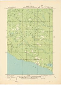
1931 · Epoufette SE
USGS Topo · 1:31,680
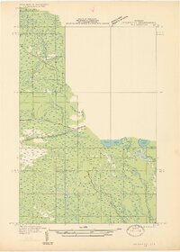
1931 · Epoufette NE
USGS Topo · 1:31,680
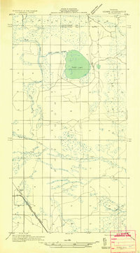
1931 · Ozark SE
USGS Topo · 1:31,680
1941 · Strongs
USGS Topo · 1:63,360
1951 · Strongs
USGS Topo · 1:24,000
1951 · Sullivan Creek
USGS Topo · 1:24,000
1951 · Eckerman
USGS Topo · 1:24,000
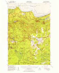
1951 · Strongs
USGS Topo · 1:62,500
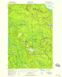
1951 · Eckerman
USGS Topo · 1:62,500
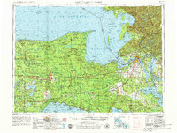
1954 · Sault Sainte Marie
USGS Topo · 1:250,000