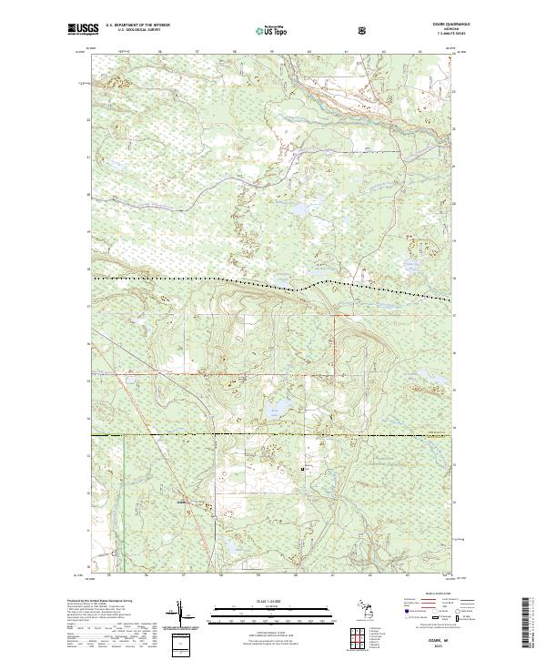
2023 Map of Ozark
USGS Topo · Published 2023About this map
Hiawatha National Forest dominates this section of the Upper Peninsula, where the landscape is defined by a complex network of wetlands and small water bodies. The settlement of Ozark sits near the southern boundary, situated among a web of seasonal and recreational paths such as the St Ignace to Trout Lake Route Trl and the Carp River Snomo Trl. These corridors reflect the modern use of the land for forestry and outdoor passage through the dense northern woods.
Find a feature on this map
30 named features on this map. Tap any name to fly to it.
Don’t see what you’re looking for? This feature index may not catch every label — zoom into the map to look around manually.
Map Details
Editions of this 2023 Ozark Map
This is the sole edition of this map. No revisions or reprints were ever made.
Other maps of this area

1931 · Epoufette SE
USGS Topo · 1:31,680

1931 · Epoufette NE
USGS Topo · 1:31,680

1931 · Ozark SE
USGS Topo · 1:31,680

1941 · Strongs
USGS Topo · 1:63,360

1951 · Strongs
USGS Topo · 1:24,000

1951 · Sullivan Creek
USGS Topo · 1:24,000

1951 · Eckerman
USGS Topo · 1:24,000

1951 · Strongs
USGS Topo · 1:62,500

1951 · Eckerman
USGS Topo · 1:62,500

1954 · Sault Sainte Marie
USGS Topo · 1:250,000