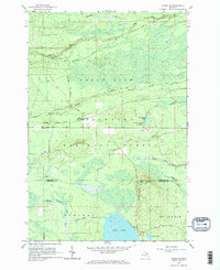
1964 Map of Ozark NE
USGS Topo · Published 1965About this map
Hiawatha National Forest dominates this mid-1960s landscape, where the Chippewa and Mackinac County line divides a region of dense swamp, water, and timber. The industrial character of the Upper Peninsula is evident in the rail corridor of the Soo Line, which connects the small settlements of Cordell and Dick (Spur 459). These remote outposts serve as markers of the area's logistical history, linked by corridors like Hayward School Road and the Spur Road.
Find a feature on this map
29 named features on this map. Tap any name to fly to it.
Don’t see what you’re looking for? This feature index may not catch every label — zoom into the map to look around manually.
Map Details
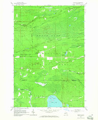
Editions of this 1964 Ozark NE Map
2 editions found
Other maps of this area

1931 · Ozark SE
USGS Topo · 1:31,680

1941 · Strongs
USGS Topo · 1:63,360

1941 · Brimley
USGS Topo · 1:63,360

1951 · Strongs
USGS Topo · 1:24,000

1951 · Sullivan Creek
USGS Topo · 1:24,000

1951 · Raco
USGS Topo · 1:24,000

1951 · Brimley
USGS Topo · 1:62,500

1951 · Strongs
USGS Topo · 1:62,500

1953 · Fibre
USGS Topo · 1:24,000

1954 · Sault Sainte Marie
USGS Topo · 1:250,000