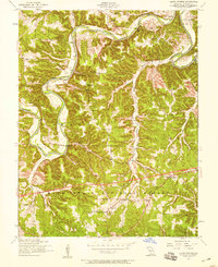
1954 Map of Ozark Springs
USGS Topo · Published 1959About this map
The Gasconade River snakes through the center of this mid-century Pulaski County survey, its path defined by deep bends and landmarks like Red Bluff and The Narrows. This is a landscape in transition, where the wooded expanses of the Mark Twain National Forest meet rural communities connected by river crossings like the Lundstrum Ford Bridge and Moxie Bridge.
Find a feature on this map
31 named features on this map. Tap any name to fly to it.
Don’t see what you’re looking for? This feature index may not catch every label — zoom into the map to look around manually.
Map Details
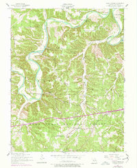
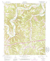
Editions of this 1954 Ozark Springs Map
3 editions found
Other maps of this area

1936 · Waynesville
USGS Topo · 1:48,000

1941 · Big Piney
USGS Topo · 1:62,500

1942 · Waynesville
USGS Topo · 1:62,500

1943 · Richland
USGS Topo · 1:62,500

1943 · Big Piney
USGS Topo · 1:62,500

1943 · Drynob
USGS Topo · 1:62,500

1944 · Waynesville
USGS Topo · 1:62,500

1954 · Springfield
USGS Topo · 1:250,000
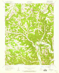
1954 · Hancock
USGS Topo · 1:24,000

1954 · Drynob
USGS Topo · 1:62,500