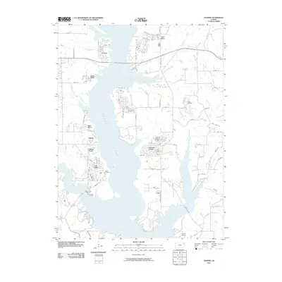
2010 Map of Ozawkie
USGS Topo · Published 2010About this map
Perry Lake dominates the landscape of Jefferson County in this 2010 topographic survey, its branching fingers reaching into the surrounding prairie. The town of Ozawkie sits at the north end of the reservoir, serving as a hub for a network of residential developments and recreation areas that have grown up along the shoreline. These communities, including Lakeside Village, Hilldale, and Indian Ridge, illustrate the mid-to-late 20th-century transformation of the area into a premier water-based recreation destination.
Find a feature on this map
77 named features on this map. Tap any name to fly to it.
Don’t see what you’re looking for? This feature index may not catch every label — zoom into the map to look around manually.
Map Details
Editions of this 2010 Ozawkie Map
This is the sole edition of this map. No revisions or reprints were ever made.
Other maps of this area

1886 · Oskaloosa
USGS Topo · 1:125,000

1888 · Oskaloosa
USGS Topo · 1:125,000

1889 · Topeka
USGS Topo · 1:125,000

1894 · Oskaloosa
USGS Topo · 1:125,000

1894 · Topeka
USGS Topo · 1:125,000

1949 · Williamstown
USGS Topo · 1:24,000

1949 · Perry
USGS Topo · 1:24,000

1950 · Perry
USGS Topo · 1:24,000

1950 · Kansas City
USGS Topo · 1:250,000

1950 · Williamstown
USGS Topo · 1:24,000