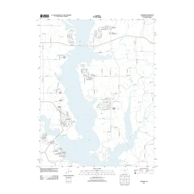
2012 Map of Ozawkie
USGS Topo · Published 2012About this map
Perry Lake dominates this Jefferson County landscape, with its irregular shoreline creating a complex network of peninsulas and inlets that define local settlement patterns. Residential developments like Lakeside Village, Lake Ridge, and Indian Ridge are clustered tightly along the water's edge, reflecting a modern economy centered on recreation and lakeside living. This orientation toward the water is further emphasized by the numerous organized sites within the Perry State Park system, including the Eagle Landing and Hobie Cove campgrounds.
Find a feature on this map
109 named features on this map. Tap any name to fly to it.
Don’t see what you’re looking for? This feature index may not catch every label — zoom into the map to look around manually.
Map Details
Editions of this 2012 Ozawkie Map
This is the sole edition of this map. No revisions or reprints were ever made.
Other maps of this area

1886 · Oskaloosa
USGS Topo · 1:125,000

1888 · Oskaloosa
USGS Topo · 1:125,000

1889 · Topeka
USGS Topo · 1:125,000

1894 · Oskaloosa
USGS Topo · 1:125,000

1894 · Topeka
USGS Topo · 1:125,000

1949 · Williamstown
USGS Topo · 1:24,000

1949 · Perry
USGS Topo · 1:24,000

1950 · Perry
USGS Topo · 1:24,000

1950 · Kansas City
USGS Topo · 1:250,000

1950 · Williamstown
USGS Topo · 1:24,000