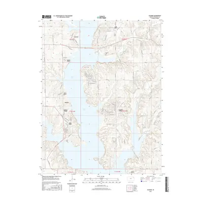
2015 Map of Ozawkie
USGS Topo · Published 2015About this map
Perry Lake dominates this Jefferson County landscape, its sprawling waters shaping the development of modern lakeside communities in the mid-2010s. The town of Ozawkie sits on the western shore, where Old State Hwy 92 crosses the reservoir. The topography is defined by the numerous small inlets and points that have created distinct residential pockets, including Lakeside Village, Indian Ridge, and Hilldale. These settlements are linked by a complex network of local roads such as Lake Ridge Pkwy and Westlake Rd. While modern recreation and housing are prominent, deeper history is preserved at the Ozawkie Cem and the natural prominence of Round Mound to the south. Tributaries like Slough Cr and Little Slough Cr feed into the lake from the east, carving through the terrain and illustrating the drainage patterns that existed before the basin was flooded.
Find a feature on this map
83 named features on this map. Tap any name to fly to it.
Don’t see what you’re looking for? This feature index may not catch every label — zoom into the map to look around manually.
Map Details
Editions of this 2015 Ozawkie Map
This is the sole edition of this map. No revisions or reprints were ever made.
Other maps of this area

1886 · Oskaloosa
USGS Topo · 1:125,000

1888 · Oskaloosa
USGS Topo · 1:125,000

1889 · Topeka
USGS Topo · 1:125,000

1894 · Oskaloosa
USGS Topo · 1:125,000

1894 · Topeka
USGS Topo · 1:125,000

1949 · Williamstown
USGS Topo · 1:24,000

1949 · Perry
USGS Topo · 1:24,000

1950 · Perry
USGS Topo · 1:24,000

1950 · Kansas City
USGS Topo · 1:250,000

1950 · Williamstown
USGS Topo · 1:24,000