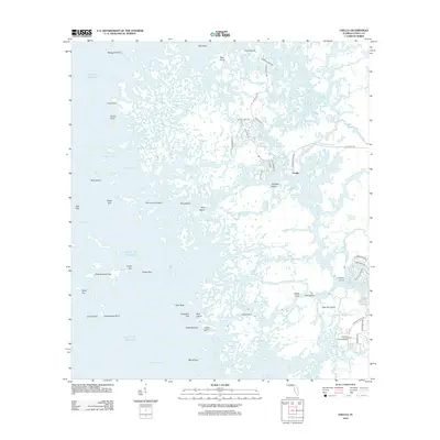
2012 Map of Ozello
USGS Topo · Published 2012About this map
The settlement of Ozello sits at the heart of this intricate coastal landscape, where a web of residential roads like W Ozello Trl and S Waterman Dr navigates a maze of islands and salt marshes. The terrain is defined by a dense network of tidal waterways, including the Saint Martins River, Little Homosassa River, and the southern Homosassa River. These channels thread through countless named landforms such as Paradise Island, Tiger Tail Island, and Dog Island, reflecting a geography where the line between land and sea is constantly shifting.
Find a feature on this map
76 named features on this map. Tap any name to fly to it.
Don’t see what you’re looking for? This feature index may not catch every label — zoom into the map to look around manually.
Map Details
Editions of this 2012 Ozello Map
This is the sole edition of this map. No revisions or reprints were ever made.
Other maps of this area

1954 · Homosassa
USGS Topo · 1:24,000

1954 · Chassahowitzka Bay
USGS Topo · 1:24,000

1954 · Crystal River
USGS Topo · 1:24,000

1954 · Chassahowitzka
USGS Topo · 1:24,000

1954 · Red Level
USGS Topo · 1:24,000

1954 · Ozello
USGS Topo · 1:24,000

1955 · Plant City
USGS Topo · 1:250,000

1958 · Plant City
USGS Topo · 1:250,000

1959 · Plant City
USGS Topo · 1:250,000

1964 · Plant City
USGS Topo · 1:250,000