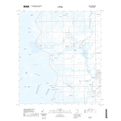
2021 Map of Ozello
USGS Topo · Published 2021About this map
Ozello serves as the central hub for this intricate coastal landscape where the land dissolves into the Gulf of Mexico. This environment is characterized by a dense network of hammocks, keys, and tidal creeks, including the Saint Martins River and the Little Homosassa River. The presence of the Florida Circumnavigational Paddling Trail weaving through the northern section of the map highlights the area's continued use for water-based navigation.
Find a feature on this map
86 named features on this map. Tap any name to fly to it.
Don’t see what you’re looking for? This feature index may not catch every label — zoom into the map to look around manually.
Map Details
Editions of this 2021 Ozello Map
This is the sole edition of this map. No revisions or reprints were ever made.
Other maps of this area

1954 · Homosassa
USGS Topo · 1:24,000

1954 · Chassahowitzka Bay
USGS Topo · 1:24,000

1954 · Crystal River
USGS Topo · 1:24,000

1954 · Chassahowitzka
USGS Topo · 1:24,000

1954 · Red Level
USGS Topo · 1:24,000

1954 · Ozello
USGS Topo · 1:24,000

1955 · Plant City
USGS Topo · 1:250,000

1958 · Plant City
USGS Topo · 1:250,000

1959 · Plant City
USGS Topo · 1:250,000

1964 · Plant City
USGS Topo · 1:250,000