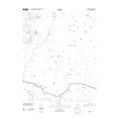
2013 Map of Ozone
USGS Topo · Published 2013About this map
Ozone and the surrounding plateau communities in Cumberland County are defined by a complex network of creeks and ridge-top settlements. The landscape transitions from the residential developments around Lake Pomeroy and Dorchester in the northwest to the more isolated mountain gaps and coves in the east. Historically significant river crossings such as Hatfield Ford and Frank Center Ford along Daddys Cr indicate the older travel patterns of the region before modern infrastructure. The presence of Lake Waldensia near Waldensia and the clustering of settlements like Daysville along the southern corridor highlight the importance of water resources and mountain passes in shaping local development. Further south, the Crab Orchard Mountains loom over deep hollows like Grapevine Hollow, while Renegade and Ozone sit as quiet witnesses to the high-elevation geography that once required careful navigation through Crab Orchard Gap.
Find a feature on this map
193 named features on this map. Tap any name to fly to it.
Don’t see what you’re looking for? This feature index may not catch every label — zoom into the map to look around manually.
Map Details
Editions of this 2013 Ozone Map
This is the sole edition of this map. No revisions or reprints were ever made.
Other maps of this area

1887 · Kingston
USGS Topo · 1:125,000

1891 · Kingston
USGS Topo · 1:125,000

1893 · Kingston
USGS Topo · 1:125,000

1895 · Wartburg
USGS Topo · 1:125,000

1896 · Wartburg
USGS Topo · 1:125,000

1935 · Rockwood
USGS Topo · 1:24,000

1935 · Lancing
USGS Topo · 1:24,000

1936 · Hebbertsburg
USGS Topo · 1:24,000

1936 · Fox Creek
USGS Topo · 1:24,000

1936 · Roddy
USGS Topo · 1:24,000