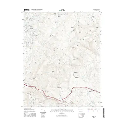
2016 Map of Ozone
USGS Topo · Published 2016About this map
Ozone and the surrounding plateau communities of Daysville and Waldensia occupy this portion of the Crab Orchard Mountains. The landscape is defined by the deep incisions of Daddys Creek and Yellow Cr, which carve through the high terrain of Chestnut Oak Ridge and Pine Ridge. To the northwest, the residential development of Fairfield Glade shows a network of planned streets and lakes such as Lake Pomeroy and Glastonbury Lake, contrasting with the more traditional rural patterns found in The Glades and Kirkland Cove. For the family historian, numerous small burial grounds are documented, including Antioch Cem, McNeil Cem, and the Mammy Cem. The terrain features prominent landmarks like Thorny Mtn and Slaty Knob, while historical settlement sites are indicated by labels such as Millstone and Crab Orchard.
Find a feature on this map
171 named features on this map. Tap any name to fly to it.
Don’t see what you’re looking for? This feature index may not catch every label — zoom into the map to look around manually.
Map Details
Editions of this 2016 Ozone Map
This is the sole edition of this map. No revisions or reprints were ever made.
Other maps of this area

1887 · Kingston
USGS Topo · 1:125,000

1891 · Kingston
USGS Topo · 1:125,000

1893 · Kingston
USGS Topo · 1:125,000

1895 · Wartburg
USGS Topo · 1:125,000

1896 · Wartburg
USGS Topo · 1:125,000

1935 · Rockwood
USGS Topo · 1:24,000

1935 · Lancing
USGS Topo · 1:24,000

1936 · Hebbertsburg
USGS Topo · 1:24,000

1936 · Fox Creek
USGS Topo · 1:24,000

1936 · Roddy
USGS Topo · 1:24,000