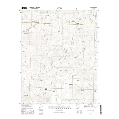
2014 Map of Ozone
USGS Topo · Published 2014About this map
The Ozark National Forest covers much of this landscape in the Boston Mountains, where the headwaters of the Mulberry River and Little Piney Creek carve through deeply incised ridges. Settlement is concentrated along State Highway 21, which winds past the rural communities of Salus and Ozone. Local history is preserved in small family and community burial grounds such as Pine Grove Cemetery and Russell Cemetery, while the presence of the Ozone Gas Field and the Devils Knob Lookout Tower indicates the intersection of resource extraction and forest management in the region. The map also documents scattered residential pockets like Gillian Settlement and Farris Springs, reflecting a traditional Ozark settlement pattern that follows natural features like Hickory Flat and Pullman Hollow.
Find a feature on this map
114 named features on this map. Tap any name to fly to it.
Don’t see what you’re looking for? This feature index may not catch every label — zoom into the map to look around manually.
Map Details
Editions of this 2014 Ozone Map
This is the sole edition of this map. No revisions or reprints were ever made.
Other maps of this area
1889 · Ozone
USGS Topo · 1:62,500
1906 · Batson
USGS Topo · 1:62,500
1934 · Ozone
USGS Topo · 1:62,500
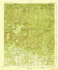
1936 · Ozone
USGS Topo · 1:62,500
1956 · Russellville
USGS Topo · 1:250,000
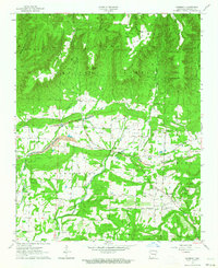
1963 · Harmony
USGS Topo · 1:24,000
1964 · Russellville
USGS Topo · 1:250,000
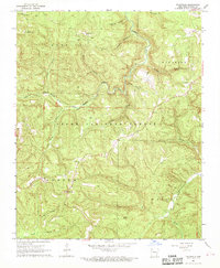
1967 · Fallsville
USGS Topo · 1:24,000
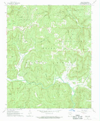
1968 · Swain
USGS Topo · 1:24,000
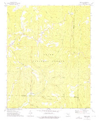
1973 · Boston
USGS Topo · 1:24,000