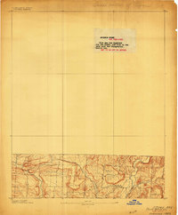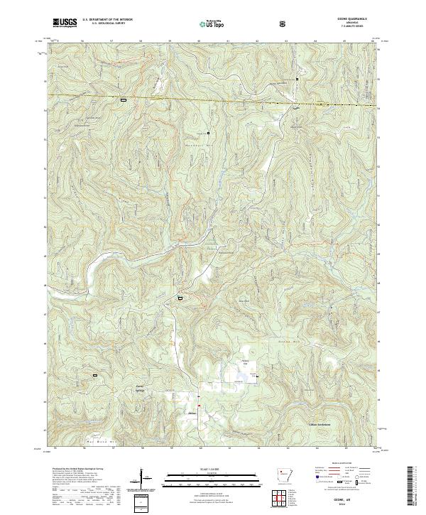
1936 Map of Ozone
USGS Topo · Published 1949About this map
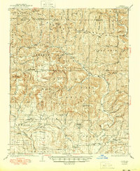
Ozone sits at a high point in the Boston Mountains along the Ozone Road, serving as a central node in a landscape of high ridges and deep hollows during the mid-1930s. This survey records the distinct upland character of the Sherman Mountain and Woods Mountain region, where social life revolved around numerous small country schools and churches like the Oak Grove Sch and Trinity Ch. The topography dictated a dispersed settlement pattern, visible in the clusters of Gilham Settlement and Strawberry Settlement, each located near vital water sources like Minnow Creek and Little Piney Creek. On higher ground, the Devils Knob Fire Tower stood as a sentinel over the Mulberry River valley. Genealogists will find particular value in the placement of the Hignite Cem and Liberty Center Cem, alongside general stores like the Flint Store and Chronister Store that anchored these rural communities.
Find a feature on this map
102 named features on this map. Tap any name to fly to it.
Don’t see what you’re looking for? This feature index may not catch every label — zoom into the map to look around manually.
Map Details
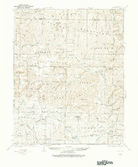
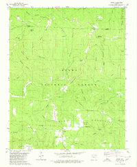
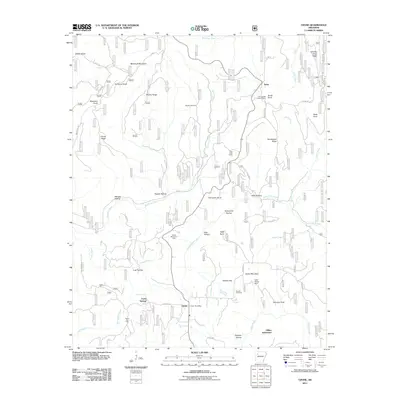
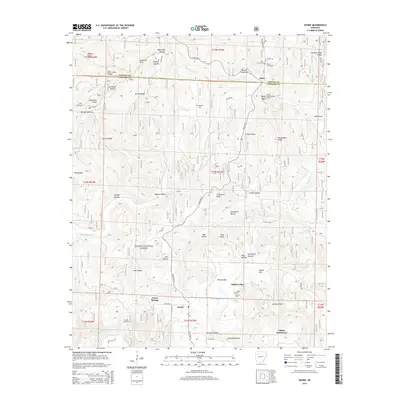
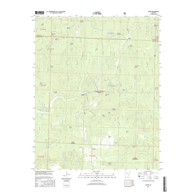
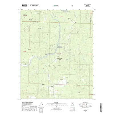
Editions of this 1936 Ozone Map
3 editions found
Historical Maps of Mount Zion Through Time
9 maps found