
1971 Map of Pablo Canyon Ranch
USGS Topo · Published 1974About this map
Toiyabe National Forest dominates the western half of this 1971 survey, where the steep terrain of the Toiyabe Range transitions into the broad alluvial expanse of the Big Smoky Valley. Life in this arid environment is anchored by scarce water sources and ranching infrastructure, such as the Pablo Canyon Ranch and several mountain springs including Antelope Spring and Boyd Canyon Spring. In the higher elevations of Jett Canyon, Jett Dam and a designated Campsite suggest the area's utility for both water management and recreation during the early 1970s.
Find a feature on this map
20 named features on this map. Tap any name to fly to it.
Don’t see what you’re looking for? This feature index may not catch every label — zoom into the map to look around manually.
Map Details
Editions of this 1971 Pablo Canyon Ranch Map
This is the sole edition of this map. No revisions or reprints were ever made.
Other maps of this area

1907 · Tonopah
USGS Topo · 1:250,000

1908 · Tonopah
USGS Topo · 1:250,000

1956 · Tonopah
USGS Topo · 1:250,000

1959 · Tonopah
USGS Topo · 1:250,000

1962 · Tonopah
USGS Topo · 1:250,000

1971 · Carvers
USGS Topo · 1:24,000

1971 · Seyler Peak
USGS Topo · 1:24,000

1971 · Manhattan
USGS Topo · 1:24,000
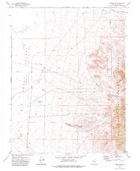
1971 · Carvers SE
USGS Topo · 1:24,000
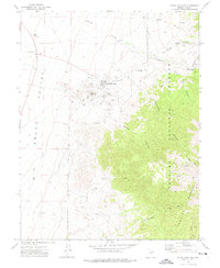
1971 · Round Mountain
USGS Topo · 1:24,000