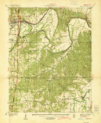
1937 Map of Pacific
USGS Topo · Published 1939About this map
The Meramec River meanders across this landscape in the years before the Second World War, creating a natural border between Franklin, St. Louis, and Jefferson Counties. The industrial activity at Pacific is evident through the St Louis-San Francisco Ry corridor and a nearby Gravel Plant. Further south, the map reveals a community-focused landscape where institutional life is centered around the St Anns Infirmary and St Josephs Hill Infirmary. A depression-era C C C Camp is also noted, reflecting the public works of the era. Rural education and faith are well-represented by a network of one-room schoolhouses like Horneker Sch and McNamee Sch, alongside local landmarks such as Rock Ch and the riverside Byrnesville. The terrain is characterized by deep hollows like Catawissa Hollow and prominent elevations including Lost Hill and Bald Hill.
Find a feature on this map
44 named features on this map. Tap any name to fly to it.
Don’t see what you’re looking for? This feature index may not catch every label — zoom into the map to look around manually.
Map Details
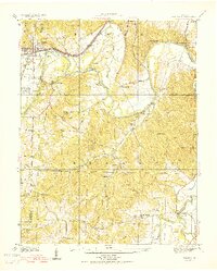
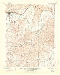
Editions of this 1937 Pacific Map
4 editions found
Other maps of this area

1901 · De Soto
USGS Topo · 1:125,000

1903 · O'Fallon
USGS Topo · 1:125,000

1930 · Pacific SE
USGS Topo · 1:24,000

1931 · Manchester SE
USGS Topo · 1:24,000

1931 · Pacific NE
USGS Topo · 1:24,000

1937 · Pacific
USGS Topo · 1:24,000

1938 · Cedar Hill
USGS Topo · 1:24,000

1940 · Cedar Hill
USGS Topo · 1:24,000

1940 · Eureka
USGS Topo · 1:24,000

1944 · Eureka
USGS Topo · 1:24,000