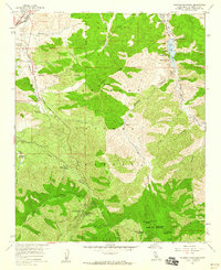
1959 Map of Pacifico Mountain
USGS Topo · Published 1960About this map
The Southern Pacific railroad traverses the high desert corridor of Soledad Pass in the late 1950s, marking the transition between the arid valley floor and the interior of the Angeles National Forest. Small settlements like Vincent and Soledad anchor the northwestern corner, while the interior landscape is defined by remote outposts and family holdings such as Wagonwheel Ranch, Niles Ranch, and Montgomery Ranch. This period captures a balance between early resource extraction, evidenced by the Gold Queen Mine, and the growing recreational importance of the high country, seen in the numerous campgrounds along the slopes of Pacifico Mountain. The infrastructure of the era is remarkably clear, from the Little Rock Dam and its reservoir in the northeast to the various gaging stations and firebreaks that crisscross Mt. Emma and Bare Mountain.
Find a feature on this map
45 named features on this map. Tap any name to fly to it.
Don’t see what you’re looking for? This feature index may not catch every label — zoom into the map to look around manually.
Map Details
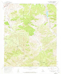
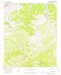
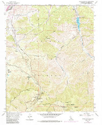
Editions of this 1959 Pacifico Mountain Map
4 editions found
Other maps of this area

1900 · Tujunga
USGS Topo · 1:62,500

1901 · Southern California Sheet No. 1
USGS Topo · 1:250,000

1903 · Rock Creek
USGS Topo · 1:62,500

1904 · Southern California Sheet No. 1
USGS Topo · 1:250,000

1915 · Elizabeth Lake
USGS Topo · 1:125,000

1917 · Elizabeth Lake
USGS Topo · 1:125,000

1930 · Little Rock
USGS Topo · 1:24,000

1930 · Pearland
USGS Topo · 1:24,000

1932 · Palmdale
USGS Topo · 1:24,000

1934 · Pearland
USGS Topo · 1:24,000