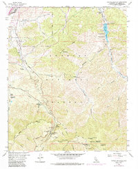
1959 Map of Pacifico Mountain
USGS Topo · Published 1985About this map
Pacifico Mountain dominates the high elevation of the Angeles National Forest in this 1959 survey, updated with revisions through 1974. The landscape is defined by the steep canyons of the San Gabriel Mountains, including Santiago Canyon and Aliso Canyon, where water sources like Aliso Spring and Fountainhead Spring supported early ranching and mining. The Southern Pacific railroad line cuts through Soledad Pass near the settlement of Vincent, marking a critical transportation corridor through the rugged terrain.
Find a feature on this map
46 named features on this map. Tap any name to fly to it.
Don’t see what you’re looking for? This feature index may not catch every label — zoom into the map to look around manually.
Map Details
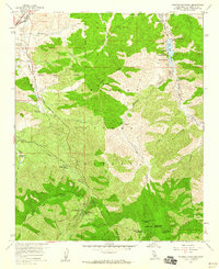
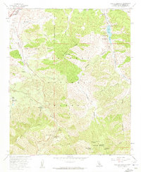
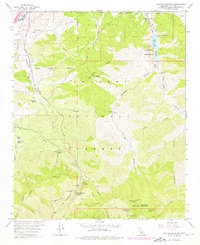
Editions of this 1959 Pacifico Mountain Map
4 editions found
Other maps of this area

1900 · Tujunga
USGS Topo · 1:62,500

1901 · Southern California Sheet No. 1
USGS Topo · 1:250,000

1903 · Rock Creek
USGS Topo · 1:62,500

1904 · Southern California Sheet No. 1
USGS Topo · 1:250,000

1915 · Elizabeth Lake
USGS Topo · 1:125,000

1917 · Elizabeth Lake
USGS Topo · 1:125,000

1930 · Little Rock
USGS Topo · 1:24,000

1930 · Pearland
USGS Topo · 1:24,000

1932 · Palmdale
USGS Topo · 1:24,000

1934 · Pearland
USGS Topo · 1:24,000