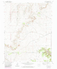
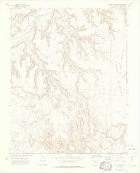
1972 Map of Packers Gap
USGS Topo · Published 1985About this map
The high-plains landscape of southeastern Colorado is captured here along the border of Otero Co Las Animas Co, where the drainages of the West Branch and East Branch Crooked Arroyo carve into the terrain. The map highlights the sparse ranching infrastructure that defined this region in the early 1970s, including the remote Honey Windmill and the settlement of Rourke. Natural landforms like Packers Gap and the Shale Hills dominate the topography, while man-made additions such as a Pipeline and a dedicated Landing Strip near Minnie Canyon indicate the industrial and aviation adaptations to this isolated environment. This survey provides a record of the canyon systems, including Iron Canyon and Bent Canyon, which have historically shaped the movement of people and livestock through the high desert.
Find a feature on this map
18 named features on this map. Tap any name to fly to it.
Don’t see what you’re looking for? This feature index may not catch every label — zoom into the map to look around manually.
Map Details
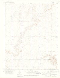
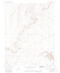
Editions of this 1972 Packers Gap Map
4 editions found
Other maps of this area

1891 · Timpas
USGS Topo · 1:125,000

1894 · Timpas
USGS Topo · 1:125,000

1955 · La Junta
USGS Topo · 1:250,000

1958 · La Junta
USGS Topo · 1:250,000

1965 · La Junta SW
USGS Topo · 1:24,000

1966 · La Junta SE
USGS Topo · 1:24,000

1968 · La Junta
USGS Topo · 1:250,000

1972 · Packers Gap
USGS Topo · 1:24,000
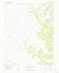
1972 · Stage Canyon
USGS Topo · 1:24,000
1972 · Beaty Canyon
USGS Topo · 1:24,000