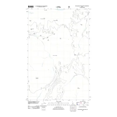
2011 Map of Packsaddle Mountain
USGS Topo · Published 2011About this map
Green Monarch Mine sits along the northern edge of this high-elevation terrain in Bonner County, marking a site of industrial effort among the peaks of the Idaho panhandle. The landscape is defined by a series of prominent ridges and drainage basins, where water flows from high points like Packsaddle Mountain and Larch Mountain into the North Fork Coeur d'Alene River and Granite Creek. The network of national forest development roads, including Nat For Dev Rd 306 and Johnson Creek Rd, provides the primary access through this complex topography.
Find a feature on this map
30 named features on this map. Tap any name to fly to it.
Don’t see what you’re looking for? This feature index may not catch every label — zoom into the map to look around manually.
Map Details
Editions of this 2011 Packsaddle Mountain Map
This is the sole edition of this map. No revisions or reprints were ever made.
Other maps of this area

1909 · Cataldo
USGS Topo · 1:125,000

1911 · Cataldo
USGS Topo · 1:125,000

1911 · Priest Lake
USGS Topo · 1:250,000

1913 · Priest Lake
USGS Topo · 1:250,000

1949 · Packsaddle Mtn
USGS Topo · 1:62,500

1951 · Packsaddle Mtn
USGS Topo · 1:62,500

1951 · Clark Fork
USGS Topo · 1:62,500

1955 · Spokane
USGS Topo · 1:250,000

1958 · Spokane
USGS Topo · 1:250,000

1958 · Sandpoint
USGS Topo · 1:250,000