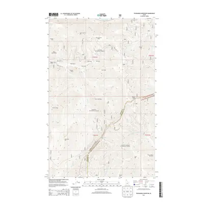
2013 Map of Packsaddle Mountain
USGS Topo · Published 2013About this map
Packsaddle Mtn and the southern reaches of Lake Pend Oreille dominate this mountainous landscape along the border of Bonner and Shoshone counties. The terrain is defined by the high ridges of the Green Monarch Mtn and the Coeur d'Alene Mountains, providing a detailed look at the interface between the Kanisku National Forest and the Coeur d'Alene National Forest. This 2013 survey illustrates the complex drainage systems of Granite Cr and the N Fork Coeur d'Alene River before they reach the lower basins. Significant landmarks for local navigation and history include Johnson Point Vista, the high point at Johnson Peak, and Freezeout Spring. The map traces several forest access routes like Johnson Creek Rd and Nat For Dev Rd 132 that wind through prominent features such as Peep a Day Ridge and Johnson Saddle.
Find a feature on this map
41 named features on this map. Tap any name to fly to it.
Don’t see what you’re looking for? This feature index may not catch every label — zoom into the map to look around manually.
Map Details
Editions of this 2013 Packsaddle Mountain Map
This is the sole edition of this map. No revisions or reprints were ever made.
Other maps of this area

1909 · Cataldo
USGS Topo · 1:125,000

1911 · Cataldo
USGS Topo · 1:125,000

1911 · Priest Lake
USGS Topo · 1:250,000

1913 · Priest Lake
USGS Topo · 1:250,000

1949 · Packsaddle Mtn
USGS Topo · 1:62,500

1951 · Packsaddle Mtn
USGS Topo · 1:62,500

1951 · Clark Fork
USGS Topo · 1:62,500

1955 · Spokane
USGS Topo · 1:250,000

1958 · Spokane
USGS Topo · 1:250,000

1958 · Sandpoint
USGS Topo · 1:250,000