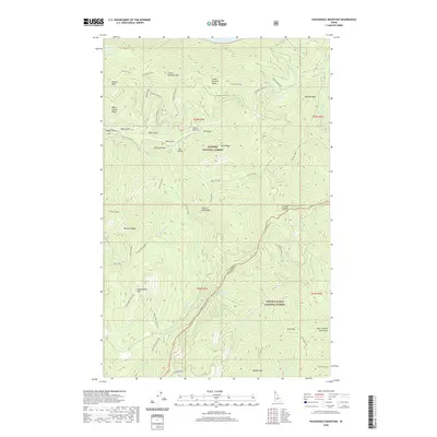
2020 Map of Packsaddle Mountain
USGS Topo · Published 2020About this map
Packsaddle Mountain and the Coeur d'Alene Mountains dominate this landscape where the Kaniksu National Forest meets the Coeur d'Alene National Forest. The map documents a high-altitude wilderness defined by massive ridges and narrow gulches, including the distinctive Green Monarch Mtn and Minerva Ridge. A small portion of Lake Pend Oreille is visible in the north, while the N Fork Coeur d'Alene River drains the southern slopes. Evidence of human presence is sparse in this 2020 survey, centered primarily on the historic Johnson Cabin and remote access points like Johnson-Lakeview road. The terrain is deeply carved by drainage systems such as Granite Creek and Packsaddle Cr, illustrating the complex hydrology that feeds the region's larger basins and springs like Fitzgerald Spring.
Find a feature on this map
51 named features on this map. Tap any name to fly to it.
Don’t see what you’re looking for? This feature index may not catch every label — zoom into the map to look around manually.
Map Details
Editions of this 2020 Packsaddle Mountain Map
This is the sole edition of this map. No revisions or reprints were ever made.
Other maps of this area

1909 · Cataldo
USGS Topo · 1:125,000

1911 · Cataldo
USGS Topo · 1:125,000

1911 · Priest Lake
USGS Topo · 1:250,000

1913 · Priest Lake
USGS Topo · 1:250,000

1949 · Packsaddle Mtn
USGS Topo · 1:62,500

1951 · Packsaddle Mtn
USGS Topo · 1:62,500

1951 · Clark Fork
USGS Topo · 1:62,500

1955 · Spokane
USGS Topo · 1:250,000

1958 · Spokane
USGS Topo · 1:250,000

1958 · Sandpoint
USGS Topo · 1:250,000