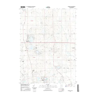
2016 Map of Paddock Lake
USGS Topo · Published 2016About this map
Paddock Lake and its neighboring residential clusters define this landscape in the mid-2010s, showing a high concentration of inland water bodies and established lakeside communities. The map detail highlights the residential expansion around Hooker Lake and Montgomery Lake, while surrounding unincorporated areas like Salem Oaks and Salem maintain their historical identities through local roads and distinct neighborhood layouts. To the east, the Des Plaines River winds through agricultural fields and wetlands, contrasting with the more developed western half of the sheet.
Find a feature on this map
51 named features on this map. Tap any name to fly to it.
Don’t see what you’re looking for? This feature index may not catch every label — zoom into the map to look around manually.
Map Details
Editions of this 2016 Paddock Lake Map
This is the sole edition of this map. No revisions or reprints were ever made.
Other maps of this area

1892 · Racine
USGS Topo · 1:62,500

1893 · Silver Lake
USGS Topo · 1:62,500

1905 · Racine
USGS Topo · 1:62,500

1906 · Silver Lake
USGS Topo · 1:62,500

1906 · Waukegan
USGS Topo · 1:62,500

1908 · Waukegan
USGS Topo · 1:62,500

1920 · Grays Lake
USGS Topo · 1:62,500

1923 · Grays Lake
USGS Topo · 1:62,500

1954 · Rockford
USGS Topo · 1:250,000

1955 · Rockford
USGS Topo · 1:250,000