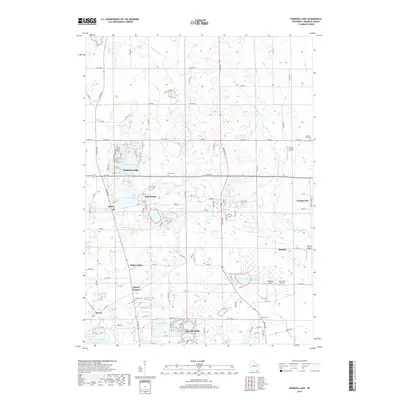
2018 Map of Paddock Lake
USGS Topo · Published 2018About this map
Salem Lakes and Paddock Lake anchor this topographic view of eastern Kenosha County, where a high concentration of natural glacial lakes and engineered water management systems define the landscape. The region reflects a transitional character between agricultural roots and residential development, evidenced by the numerous small settlements like Salem Oaks, Salem, and Trevor. Water remains the central geographic feature, with the Des Plaines River and Dutch Gap Canal providing drainage across the eastern half of the sheet. Genealogists and local historians can pinpoint several significant burial sites, including Liberty Cem, Paris Cem, and Union Cem, while aviation history is represented by small local airfields such as Binzel Airport and Bristol Airport. The transport network is heavily reliant on the county highway system, with Co HWY K and Co HWY V serving as primary east-west arteries connecting these lakeside communities.
Find a feature on this map
46 named features on this map. Tap any name to fly to it.
Don’t see what you’re looking for? This feature index may not catch every label — zoom into the map to look around manually.
Map Details
Editions of this 2018 Paddock Lake Map
This is the sole edition of this map. No revisions or reprints were ever made.
Other maps of this area

1892 · Racine
USGS Topo · 1:62,500

1893 · Silver Lake
USGS Topo · 1:62,500

1905 · Racine
USGS Topo · 1:62,500

1906 · Silver Lake
USGS Topo · 1:62,500

1906 · Waukegan
USGS Topo · 1:62,500

1908 · Waukegan
USGS Topo · 1:62,500

1920 · Grays Lake
USGS Topo · 1:62,500

1923 · Grays Lake
USGS Topo · 1:62,500

1954 · Rockford
USGS Topo · 1:250,000

1955 · Rockford
USGS Topo · 1:250,000