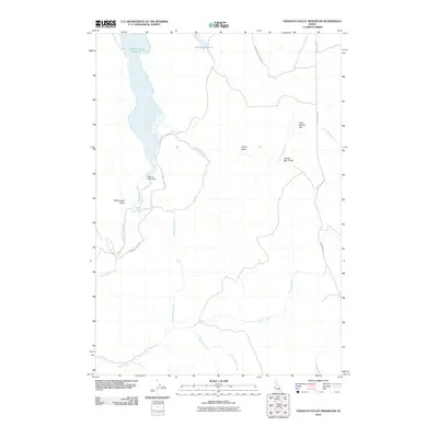
2010 Map of Paddock Valley Reservoir
USGS Topo · Published 2010About this map
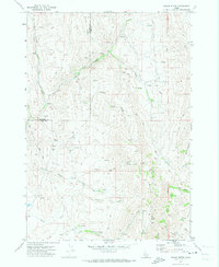
Paddock Valley Reservoir dominates this landscape in northern Payette County, formed by the Paddock Valley Dam along Little Willow Creek. The surrounding territory is characterized by a series of named drainage basins and upland flats that reflect the area's ranching and water-management history. To the north, the Soulen Reservoir and Upper Soulen Ranch Rd indicate the importance of water storage in this arid environment. Significant landforms like Little Willow Flat and McCullough Gulch provide geographic context for local researchers and genealogists interested in this corner of Idaho. The map also detailes numerous smaller tributaries including Indian Creek, Rattlesnake Creek, and the isolated Flag Spring, which were vital markers in the development of the region's rural road network, represented here by Four Mile Rd and Paddock Valley Rd.
Find a feature on this map
17 named features on this map. Tap any name to fly to it.
Don’t see what you’re looking for? This feature index may not catch every label — zoom into the map to look around manually.
Map Details
Editions of this 2010 Paddock Valley Reservoir Map
This is the sole edition of this map. No revisions or reprints were ever made.
Other maps of this area

1894 · Squaw Creek
USGS Topo · 1:125,000

1897 · Weiser
USGS Topo · 1:125,000

1955 · Baker
USGS Topo · 1:250,000

1957 · Crane Creek Reservoir
USGS Topo · 1:62,500

1959 · Baker
USGS Topo · 1:250,000
1970 · Hog Cove Butte
USGS Topo · 1:24,000
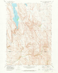
1970 · Paddock Valley Reservoir
USGS Topo · 1:24,000
1970 · Sheep Ridge
USGS Topo · 1:24,000
1970 · Squaw Butte
USGS Topo · 1:24,000
1970 · Coonrod Gulch
USGS Topo · 1:24,000