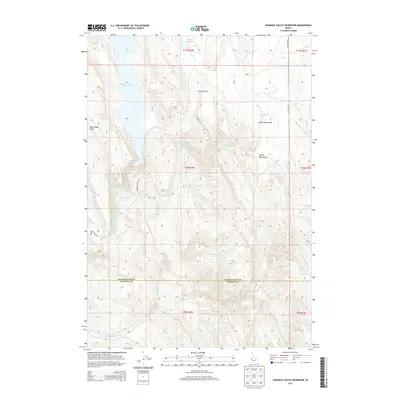
2013 Map of Paddock Valley Reservoir
USGS Topo · Published 2013About this map
Paddock Valley Reservoir dominates the high-desert landscape of western Idaho, straddling the northern border between Payette and Washington Counties. In this 2013 top-level survey, the reservoir is the central hydrological feature of a region defined by intricate drainage networks and named gullies. Small upland water sources like Soulen Reservoir and Flag Spring support the local environment, while the area is bisected by seasonal watercourses including Little Willow Cr, Rattlesnake Cr, and Indian Cr. The land use of the early 21st century is traced through a sparse road network, featuring Paddock Valley Rd and Four Mile Rd, which navigate the elevation changes between Little Willow Flat and several deep-cut features such as George Way Gulch and McCullough Gulch.
Find a feature on this map
16 named features on this map. Tap any name to fly to it.
Don’t see what you’re looking for? This feature index may not catch every label — zoom into the map to look around manually.
Map Details
Editions of this 2013 Paddock Valley Reservoir Map
This is the sole edition of this map. No revisions or reprints were ever made.
Other maps of this area

1894 · Squaw Creek
USGS Topo · 1:125,000

1897 · Weiser
USGS Topo · 1:125,000

1955 · Baker
USGS Topo · 1:250,000

1957 · Crane Creek Reservoir
USGS Topo · 1:62,500

1959 · Baker
USGS Topo · 1:250,000
1970 · Hog Cove Butte
USGS Topo · 1:24,000
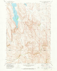
1970 · Paddock Valley Reservoir
USGS Topo · 1:24,000
1970 · Sheep Ridge
USGS Topo · 1:24,000
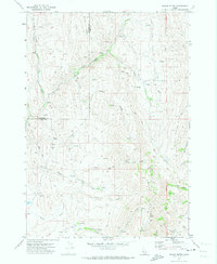
1970 · Squaw Butte
USGS Topo · 1:24,000
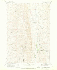
1970 · Coonrod Gulch
USGS Topo · 1:24,000