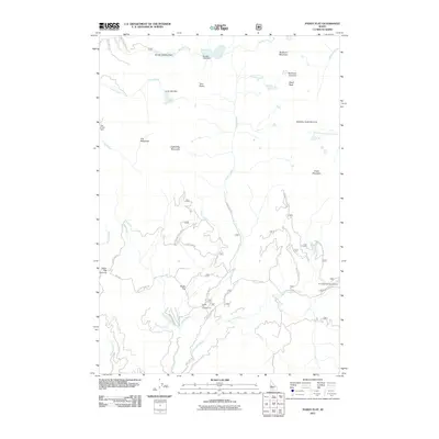
2011 Map of Paddy Flat
USGS Topo · Published 2011About this map
Paddy Flat serves as a central high-mountain basin in this part of Valley County, where water resources are managed through a series of early 21st-century infrastructure points. Small-scale impoundments like the Boulder Meadow Dam, Louie Lake Dam, and Jug Creek Dam regulate the flow from high-elevation lakes into the complex drainage system of Boulder Creek and Kennally Creek. These features reflect a landscape used for both water storage and seasonal recreation, with public access supported by the Paddy Flat Campground and Kennally Creek Campground.
Find a feature on this map
42 named features on this map. Tap any name to fly to it.
Don’t see what you’re looking for? This feature index may not catch every label — zoom into the map to look around manually.
Map Details
Editions of this 2011 Paddy Flat Map
This is the sole edition of this map. No revisions or reprints were ever made.
Other maps of this area

1911 · Meadows
USGS Topo · 1:125,000

1954 · Gold Fork
USGS Topo · 1:62,500

1954 · Cascade
USGS Topo · 1:62,500

1955 · Baker
USGS Topo · 1:250,000

1957 · Challis
USGS Topo · 1:250,000

1959 · Baker
USGS Topo · 1:250,000

1960 · Challis
USGS Topo · 1:250,000

1963 · Challis
USGS Topo · 1:250,000

1973 · Blackmare
USGS Topo · 1:24,000

1973 · Fitsum Peak
USGS Topo · 1:24,000