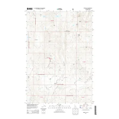
2013 Map of Paddy Flat
USGS Topo · Published 2013About this map
Payette National Forest dominates this mountain landscape, which is defined by high peaks and high-elevation reservoirs. Water management and recreation intersect at Boulder Meadows Reservoir and Upper Jug Creek Reservoir, while natural alpine lakes like Boulder Lake and Louie Lake sit tucked below major heights. Notable peaks such as Jughandle Mtn and Buckhorn Mtn overlook a complex drainage system fed by Rapid Cr and Kennally Cr. The central Paddy Flat provides a distinct break in the terrain, hosting the Paddy Flat Campground and serving as a hub for forest roads including Paddy Flat Rd and Rapid Creek Rd. This survey highlights the infrastructure of the National Forest, from remote summits like Rapid Peak to the localized meadows and ponds that support the region's wilderness character.
Find a feature on this map
48 named features on this map. Tap any name to fly to it.
Don’t see what you’re looking for? This feature index may not catch every label — zoom into the map to look around manually.
Map Details
Editions of this 2013 Paddy Flat Map
This is the sole edition of this map. No revisions or reprints were ever made.
Other maps of this area

1911 · Meadows
USGS Topo · 1:125,000

1954 · Gold Fork
USGS Topo · 1:62,500

1954 · Cascade
USGS Topo · 1:62,500

1955 · Baker
USGS Topo · 1:250,000

1957 · Challis
USGS Topo · 1:250,000

1959 · Baker
USGS Topo · 1:250,000

1960 · Challis
USGS Topo · 1:250,000

1963 · Challis
USGS Topo · 1:250,000

1973 · Blackmare
USGS Topo · 1:24,000

1973 · Fitsum Peak
USGS Topo · 1:24,000