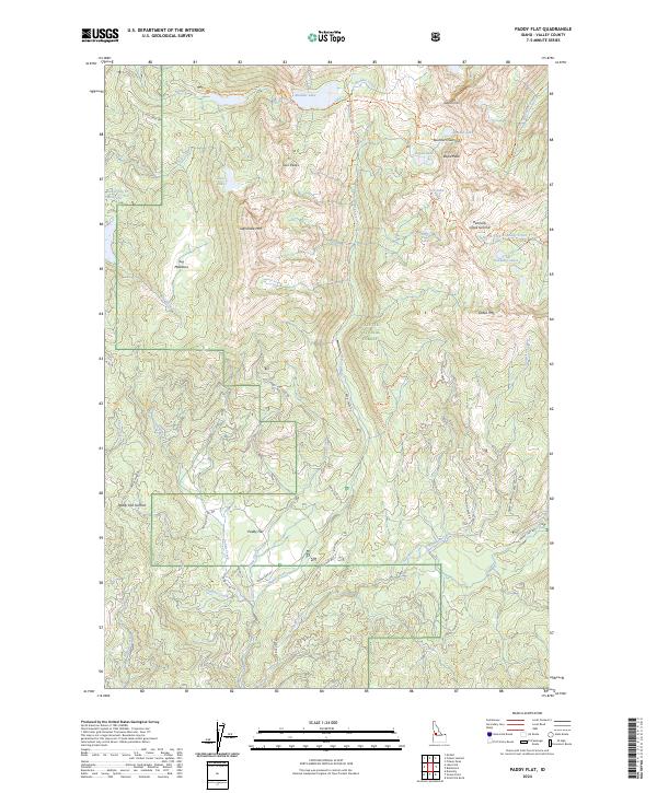
2024 Map of Paddy Flat
USGS Topo · Published 2024About this map
Paddy Flat serves as a central high-mountain basin within the Payette National Forest, where a network of forest roads and trails connects several alpine basins and peaks. The drainage patterns here are complex, with headwaters like Rapid Creek and Kennally Creek carving through the granite landscape. High-elevation water bodies, including Boulder Lake, Louie Lake, and the Kennally Lakes, are concentrated in the northern and eastern portions of the quadrangle, often situated in glacial cirques beneath summits like Jughandle Mtn and Rapid Peak.
Find a feature on this map
54 named features on this map. Tap any name to fly to it.
Don’t see what you’re looking for? This feature index may not catch every label — zoom into the map to look around manually.
Map Details
Editions of this 2024 Paddy Flat Map
This is the sole edition of this map. No revisions or reprints were ever made.
Other maps of this area

1911 · Meadows
USGS Topo · 1:125,000

1954 · Gold Fork
USGS Topo · 1:62,500

1954 · Cascade
USGS Topo · 1:62,500

1955 · Baker
USGS Topo · 1:250,000

1957 · Challis
USGS Topo · 1:250,000

1959 · Baker
USGS Topo · 1:250,000

1960 · Challis
USGS Topo · 1:250,000

1963 · Challis
USGS Topo · 1:250,000

1973 · Blackmare
USGS Topo · 1:24,000

1973 · Fitsum Peak
USGS Topo · 1:24,000