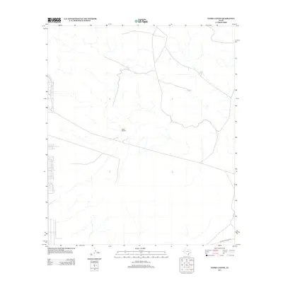
2013 Map of Padre Canyon
USGS Topo · Published 2013About this map
Padre Canyon cuts through this arid landscape in El Paso County, where water management is the primary driver of human activity and naming. The presence of several artificial reservoirs, such as Owl Tanks, Deer Tank, and Quail Tank, indicates the vital importance of capturing runoff in this dry climate to support livestock or local wildlife. Transportation and energy infrastructure are represented by the El Paso Jal Pipeline Rd, which traverses the southern portion of the territory. This 2013 survey illustrates how modern utility corridors and traditional ranching water sources define the footprint of development in the far western reaches of Texas.
Find a feature on this map
5 named features on this map. Tap any name to fly to it.
Don’t see what you’re looking for? This feature index may not catch every label — zoom into the map to look around manually.
Map Details
Editions of this 2013 Padre Canyon Map
This is the sole edition of this map. No revisions or reprints were ever made.
Other maps of this area

1896 · El Paso
USGS Topo · 1:125,000

1903 · Cerro Alto
USGS Topo · 1:125,000

1908 · El Paso
USGS Topo · 1:125,000

1939 · Heuco Tanks
USGS Topo · 1:62,500

1940 · Heuco Tanks
USGS Topo · 1:62,500

1941 · Clint
USGS Topo · 1:62,500

1941 · Heuco Mountains
USGS Topo · 1:62,500

1942 · Borrego
USGS Topo · 1:62,500

1943 · Heuco Mountains
USGS Topo · 1:62,500

1944 · Heuco Tanks
USGS Topo · 1:62,500