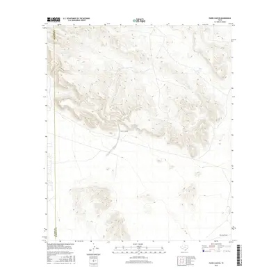
2016 Map of Padre Canyon
USGS Topo · Published 2016About this map
Padre Canyon defines the central landscape of this West Texas terrain, where the arid environment is punctuated by essential water catchments such as Owl Tanks, Deer Tank, and Quail Tank. The map documents the high desert topography of El Paso County at the El Paso Co Hudspeth Co boundary line, illustrating a network of drainage patterns and dry washes. The inclusion of Borrego Draw at the southern edge highlights the natural alluvial features typical of this region. This survey provides a clear look at land management and water resource placement in a sparsely populated section of the state during the early 21st century, focusing on the essential hydrology of the desert floor.
Find a feature on this map
6 named features on this map. Tap any name to fly to it.
Don’t see what you’re looking for? This feature index may not catch every label — zoom into the map to look around manually.
Map Details
Editions of this 2016 Padre Canyon Map
This is the sole edition of this map. No revisions or reprints were ever made.
Other maps of this area

1896 · El Paso
USGS Topo · 1:125,000

1903 · Cerro Alto
USGS Topo · 1:125,000

1908 · El Paso
USGS Topo · 1:125,000

1939 · Heuco Tanks
USGS Topo · 1:62,500

1940 · Heuco Tanks
USGS Topo · 1:62,500

1941 · Clint
USGS Topo · 1:62,500

1941 · Heuco Mountains
USGS Topo · 1:62,500

1942 · Borrego
USGS Topo · 1:62,500

1943 · Heuco Mountains
USGS Topo · 1:62,500

1944 · Heuco Tanks
USGS Topo · 1:62,500