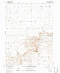
1951 Map of Padroni NW
USGS Topo · Published 1986About this map
Peetz Table dominates this high plains landscape of northeastern Colorado, where the flat upland plateau drops away into the drainage system of Lewis and Quincy Creek. The map reflects the agricultural and industrial infrastructure of the mid-20th century, notably the Chicago Burlington and Quincy railroad line running through the eastern portion of the quadrangle. Sparse settlement is evidenced by landmarks such as the Buss Ranch, while the presence of several Windmills and a Gas Well Tank underscores the area's reliance on groundwater management and emerging energy extraction during the early 1950s. The terrain is further marked by resource extraction sites like the Gravel Pit, providing a clear look at the rural economy of Logan County before later developments altered the local topography.
Find a feature on this map
8 named features on this map. Tap any name to fly to it.
Don’t see what you’re looking for? This feature index may not catch every label — zoom into the map to look around manually.
Map Details
Editions of this 1951 Padroni NW Map
3 editions found
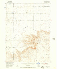
Other maps of this area

1951 · Iliff
USGS Topo · 1:24,000

1951 · Padroni NW
USGS Topo · 1:24,000

1952 · Padroni
USGS Topo · 1:24,000

1953 · Peetz
USGS Topo · 1:24,000

1954 · Sterling
USGS Topo · 1:250,000

1954 · Scottsbluff
USGS Topo · 1:250,000

1958 · Scottsbluff
USGS Topo · 1:250,000

1958 · Sterling
USGS Topo · 1:250,000

1972 · Easterly Airport
USGS Topo · 1:24,000

1972 · Lorenzo
USGS Topo · 1:24,000