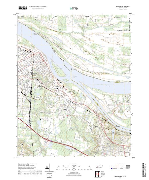
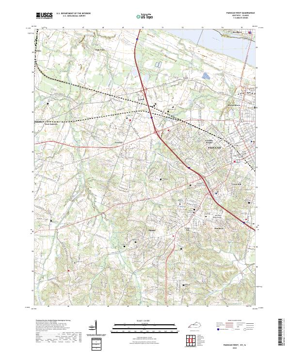
2022 Map of Paducah East
USGS Topo · Published 2022About this map
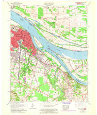
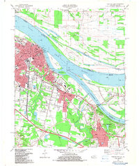
The confluence of the Ohio River and Tennessee River dominates this landscape, anchoring the bustling city of Paducah at the river junction. The urban grid extends from the riverfront, where the McCracken County Courthouse stands as a central landmark, out toward suburban and industrial developments like Farley, Woodlawn, and Reidland. This geography highlights the complex relationship between the Kentucky and Illinois shorelines, mediated by major river features such as Owens Island and Livingston Point.
Find a feature on this map
218 named features on this map. Tap any name to fly to it.
Don’t see what you’re looking for? This feature index may not catch every label — zoom into the map to look around manually.
Map Details
Editions of this 2022 Paducah East Map
This is the sole edition of this map. No revisions or reprints were ever made.
Historical Maps of Unionville Through Time
11 maps found
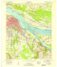
1953 Paducah East
McCracken County, KY
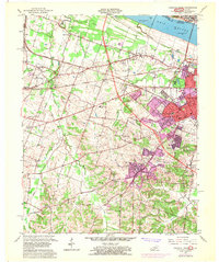
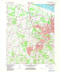
1954 Heath
McCracken County, KY
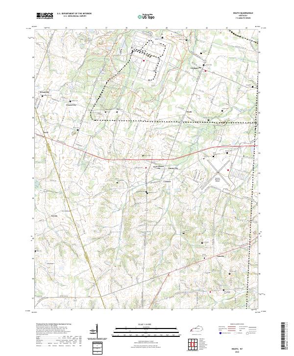
1954 Paducah West
McCracken County, KY
1958 Paducah East
McCracken County, KY
1958 Paducah West
McCracken County, KY
1978 Heath
McCracken County, KY
1982 Paducah East
McCracken County, KY
1982 Paducah West
McCracken County, KY
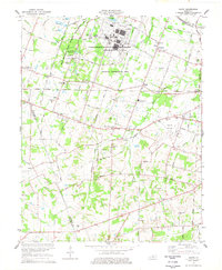
2022 Heath
McCracken County, KY
2022 Paducah East
McCracken County, KY
2022 Paducah West
McCracken County, KY