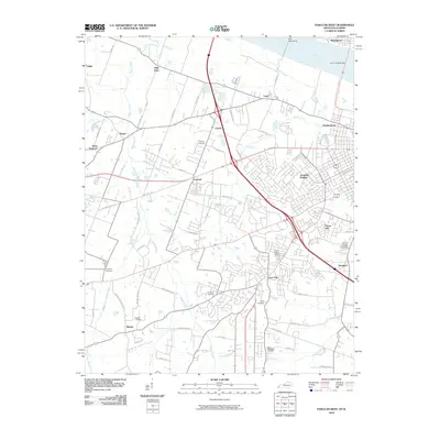
2010 Map of Paducah West
USGS Topo · Published 2010About this map
The Ohio River forms the northern boundary of this Kentucky landscape, crossed by the Irvin S Cobb Bridge and regulated by Dam Number 52 near Brookport. The terrain south of the river is characterized by the expanding suburban footprints of Lone Oak, Hendron, and Avondale Heights, which surround a core of established local history. Numerous family and community burial grounds are scattered throughout the quadrangle, including the Mount Kenton Cemetery, Highland Cemetery, and Saint Matthews Cemetery.
Find a feature on this map
69 named features on this map. Tap any name to fly to it.
Don’t see what you’re looking for? This feature index may not catch every label — zoom into the map to look around manually.
Map Details
Editions of this 2010 Paducah West Map
This is the sole edition of this map. No revisions or reprints were ever made.
Other maps of this area

1926 · Paducah
USGS Topo · 1:62,500

1928 · La Center
USGS Topo · 1:62,500

1929 · Paducah
USGS Topo · 1:62,500

1932 · La Center
USGS Topo · 1:62,500

1936 · Melber
USGS Topo · 1:24,000

1936 · Paducah
USGS Topo · 1:24,000

1936 · Symsonia
USGS Topo · 1:24,000

1940 · Paducah
USGS Topo · 1:62,500

1949 · Paducah
USGS Topo · 1:250,000

1950 · Paducah
USGS Topo · 1:250,000