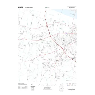
2013 Map of Paducah West
USGS Topo · Published 2013About this map
The western suburbs of Paducah and the southern bank of the Ohio River dominate this landscape during the early 21st century. The map highlights a transition from the dense street grids of Rowlandtown and Avondale Heights into the burgeoning residential developments of Lone Oak and Hendron. This growth is anchored by a complex network of named roads like McCracken Blvd and Mayfield Metropolis Rd, which weave through a geography defined by the branching waterways of Massac Cr and Perkins Cr.
Find a feature on this map
302 named features on this map. Tap any name to fly to it.
Don’t see what you’re looking for? This feature index may not catch every label — zoom into the map to look around manually.
Map Details
Editions of this 2013 Paducah West Map
This is the sole edition of this map. No revisions or reprints were ever made.
Other maps of this area

1926 · Paducah
USGS Topo · 1:62,500

1928 · La Center
USGS Topo · 1:62,500

1929 · Paducah
USGS Topo · 1:62,500

1932 · La Center
USGS Topo · 1:62,500

1936 · Melber
USGS Topo · 1:24,000

1936 · Paducah
USGS Topo · 1:24,000

1936 · Symsonia
USGS Topo · 1:24,000

1940 · Paducah
USGS Topo · 1:62,500

1949 · Paducah
USGS Topo · 1:250,000

1950 · Paducah
USGS Topo · 1:250,000