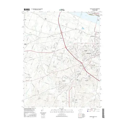
2016 Map of Paducah West
USGS Topo · Published 2016About this map
Paducah and its western suburbs sit at the confluence of human infrastructure and natural drainage basins, shaped by the Tennessee Valley Divide and the proximity of the Ohio River. The map captures a detailed urban-to-rural transition, where established neighborhoods like Avondale Heights and Forest Hill give way to outlying communities such as Massac and Concord. This landscape is marked by a high density of memorial sites and educational institutions, including the W Kentucky Community and Technical Coll and the historic Maplelawn Cem.
Find a feature on this map
232 named features on this map. Tap any name to fly to it.
Don’t see what you’re looking for? This feature index may not catch every label — zoom into the map to look around manually.
Map Details
Editions of this 2016 Paducah West Map
This is the sole edition of this map. No revisions or reprints were ever made.
Other maps of this area

1926 · Paducah
USGS Topo · 1:62,500

1928 · La Center
USGS Topo · 1:62,500

1929 · Paducah
USGS Topo · 1:62,500

1932 · La Center
USGS Topo · 1:62,500

1936 · Melber
USGS Topo · 1:24,000

1936 · Paducah
USGS Topo · 1:24,000

1936 · Symsonia
USGS Topo · 1:24,000

1940 · Paducah
USGS Topo · 1:62,500

1949 · Paducah
USGS Topo · 1:250,000

1950 · Paducah
USGS Topo · 1:250,000