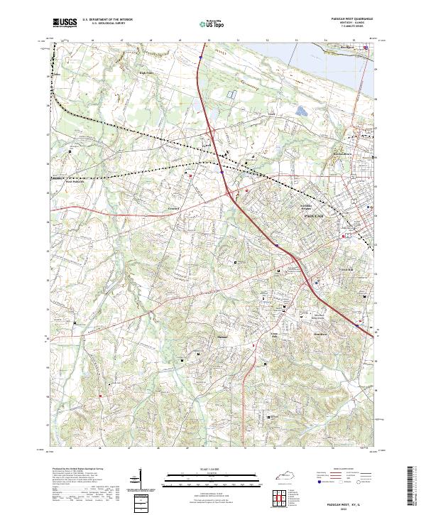
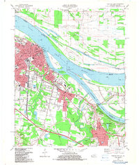
2022 Map of Paducah West
USGS Topo · Published 2022This historical map portrays the area of Paducah West in 2022, primarily covering McCracken County as well as portions of Illinois. Featuring a scale of 1:24000, this map provides a highly detailed snapshot of the terrain, roads, buildings, counties, and historical landmarks in the Paducah West region at the time. Published in 2022, it is the sole known edition of this map.
Map Details
Editions of this 2022 Paducah West Map
This is the sole edition of this map. No revisions or reprints were ever made.
Historical Maps of Lone Oak Through Time
11 maps found
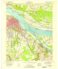
1953 Paducah East
McCracken County, KY
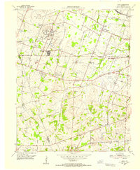
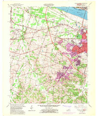
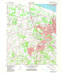
1954 Heath
McCracken County, KY
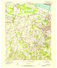
1954 Paducah West
McCracken County, KY
1958 Paducah East
McCracken County, KY
1958 Paducah West
McCracken County, KY
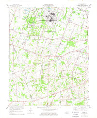
1978 Heath
McCracken County, KY
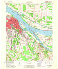
1982 Paducah East
McCracken County, KY
1982 Paducah West
McCracken County, KY
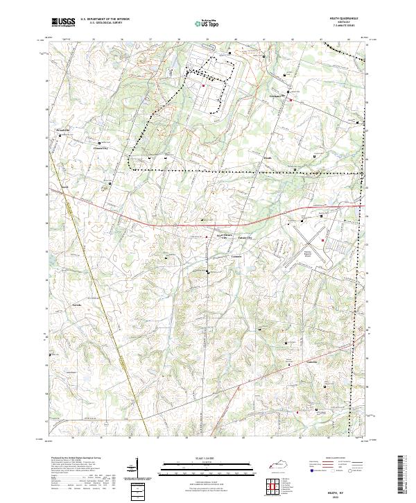
2022 Heath
McCracken County, KY
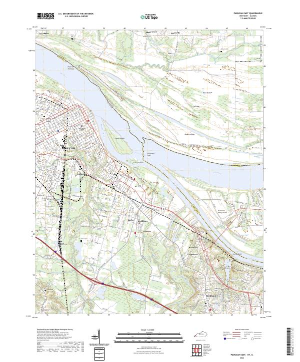
2022 Paducah East
McCracken County, KY
2022 Paducah West
McCracken County, KY