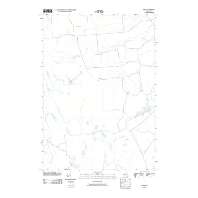
2010 Map of Page
USGS Topo · Published 2010About this map
Wetmore and the crossroads of McGraw Corners sit atop the high plateau of Lewis County, where a network of rural routes like French Rd and Centerville Rd connect scattered upland settlements. The landscape is defined by its complex hydrology, with the headwaters of the North Branch Fish Creek and East Branch Fish Creek draining the southern reaches, while Roaring Brook and Whetstone Creek carve through the northern terrain.
Find a feature on this map
29 named features on this map. Tap any name to fly to it.
Don’t see what you’re looking for? This feature index may not catch every label — zoom into the map to look around manually.
Map Details
Editions of this 2010 Page Map
This is the sole edition of this map. No revisions or reprints were ever made.
Other maps of this area

1902 · Carthage
USGS Topo · 1:62,500

1904 · Carthage
USGS Topo · 1:62,500

1905 · Port Leyden
USGS Topo · 1:62,500

1906 · Highmarket
USGS Topo · 1:62,500

1907 · Port Leyden
USGS Topo · 1:62,500

1911 · Lowville
USGS Topo · 1:62,500

1913 · Lowville
USGS Topo · 1:62,500

1940 · Port Leyden
USGS Topo · 1:62,500
1943 · New Boston
USGS Topo · 1:31,680

1943 · West Lowville
USGS Topo · 1:31,680