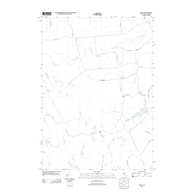
2013 Map of Page
USGS Topo · Published 2013About this map
Wetmore and Page serve as the primary hubs in this corner of Lewis County, where a network of rural roads connects established family-named landmarks. The landscape is defined by its complex hydrography, featuring the headwaters of Roaring Brook and the winding paths of N Br Fish Cr and E Br Fish Cr. These waterways, along with Alexander Pond and Haber Pond, suggest a region shaped by its natural drainage and timber-adjacent geography.
Find a feature on this map
37 named features on this map. Tap any name to fly to it.
Don’t see what you’re looking for? This feature index may not catch every label — zoom into the map to look around manually.
Map Details
Editions of this 2013 Page Map
This is the sole edition of this map. No revisions or reprints were ever made.
Other maps of this area

1902 · Carthage
USGS Topo · 1:62,500

1904 · Carthage
USGS Topo · 1:62,500

1905 · Port Leyden
USGS Topo · 1:62,500

1906 · Highmarket
USGS Topo · 1:62,500

1907 · Port Leyden
USGS Topo · 1:62,500

1911 · Lowville
USGS Topo · 1:62,500

1913 · Lowville
USGS Topo · 1:62,500

1940 · Port Leyden
USGS Topo · 1:62,500
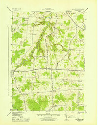
1943 · New Boston
USGS Topo · 1:31,680

1943 · West Lowville
USGS Topo · 1:31,680