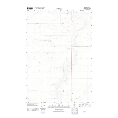
2013 Map of Page
USGS Topo · Published 2013About this map
Page serves as a central point of settlement within this portion of Mille Lacs County, situated along the north-south corridor of Us-169. The landscape is defined by its complex hydrology, with the meandering Rum River cutting through the center and east of the township. This waterway is fed by several tributaries including Robinson Brook, Burnt Lane Brook, and Whitney Brook, which drain the surrounding wetlands and fields. The transition between the water courses and the agricultural grid is visible through the section-line roads, such as 310th St and 150th Ave. While primarily rural, the density of these numbered routes and named paths like Marsh Rd reflects a long-established pattern of township development and land division. To the north, the terrain is shaped by the forks of Bradbury Brook, showing how the natural drainage dictated early local boundaries and travel routes.
Find a feature on this map
22 named features on this map. Tap any name to fly to it.
Don’t see what you’re looking for? This feature index may not catch every label — zoom into the map to look around manually.
Map Details
Editions of this 2013 Page Map
This is the sole edition of this map. No revisions or reprints were ever made.
Other maps of this area

1953 · Duluth
USGS Topo · 1:250,000

1953 · Stillwater
USGS Topo · 1:250,000

1955 · Stillwater
USGS Topo · 1:250,000

1958 · Stillwater
USGS Topo · 1:250,000

1958 · Duluth
USGS Topo · 1:250,000

1965 · Stillwater
USGS Topo · 1:250,000

1968 · Ramey NE
USGS Topo · 1:24,000

1968 · Milaca NE
USGS Topo · 1:24,000

1968 · Onamia
USGS Topo · 1:24,000

1968 · Rum River
USGS Topo · 1:24,000