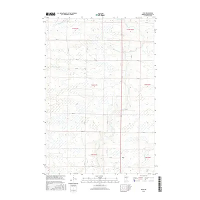
2016 Map of Page
USGS Topo · Published 2016About this map
The Rum River meanders through the heart of Page Township, defining the drainage of this wetland-rich landscape in central Minnesota. In this 2016 survey, the area remains primarily rural and dominated by hydrologic features, with the winding paths of the S Fork Bradbury Brook, Robinson Brook, and Burnt Lane Brook carving through the terrain. The settlement of Page sits along the river, serving as a focal point for the surrounding township. The map details a strictly organized grid of rural infrastructure, including Co Rd 19 and 150th Ave, which provide access to the various sections of T40N R27W and T41N R26W. The high density of marshy areas and minor tributaries like Whitney Brook highlights the region's character as part of the broader Mississippi River watershed, largely unchanged by heavy industrial or urban development.
Find a feature on this map
31 named features on this map. Tap any name to fly to it.
Don’t see what you’re looking for? This feature index may not catch every label — zoom into the map to look around manually.
Map Details
Editions of this 2016 Page Map
This is the sole edition of this map. No revisions or reprints were ever made.
Other maps of this area

1953 · Duluth
USGS Topo · 1:250,000

1953 · Stillwater
USGS Topo · 1:250,000

1955 · Stillwater
USGS Topo · 1:250,000

1958 · Stillwater
USGS Topo · 1:250,000

1958 · Duluth
USGS Topo · 1:250,000

1965 · Stillwater
USGS Topo · 1:250,000

1968 · Ramey NE
USGS Topo · 1:24,000

1968 · Milaca NE
USGS Topo · 1:24,000

1968 · Onamia
USGS Topo · 1:24,000

1968 · Rum River
USGS Topo · 1:24,000