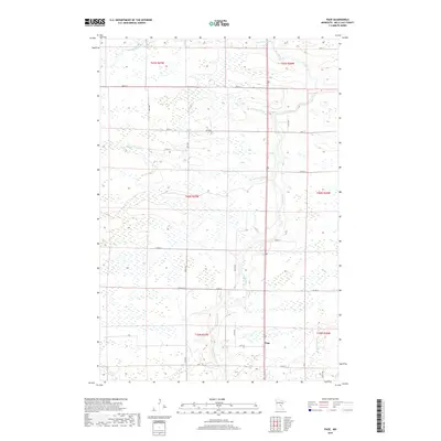
2019 Map of Page
USGS Topo · Published 2019About this map
The settlement of Page anchors this northern Mille Lacs County landscape, situated amidst a dense network of riparian corridors and wetlands. The Rum River meanders through the eastern section of the quadrangle, serving as a primary drainage for numerous tributaries including Robinson Brook and Burnt Lane Brook. This area represents a classic Minnesota wetland-rich environment where low-lying marshes are interwoven with a strictly geometric section-line road network. The grid of local routes like Co Rd 19 and 150th Ave divides the township into its constituent sections, providing access to the various Brooks that feed into the larger river system. To the north, the Bradbury Brook and its southern fork, S Fork Bradbury Brook, transition through the marshy terrain, illustrating the hydrologic character of the region as it appeared in recent years.
Find a feature on this map
31 named features on this map. Tap any name to fly to it.
Don’t see what you’re looking for? This feature index may not catch every label — zoom into the map to look around manually.
Map Details
Editions of this 2019 Page Map
This is the sole edition of this map. No revisions or reprints were ever made.
Other maps of this area

1953 · Duluth
USGS Topo · 1:250,000

1953 · Stillwater
USGS Topo · 1:250,000

1955 · Stillwater
USGS Topo · 1:250,000

1958 · Stillwater
USGS Topo · 1:250,000

1958 · Duluth
USGS Topo · 1:250,000

1965 · Stillwater
USGS Topo · 1:250,000

1968 · Ramey NE
USGS Topo · 1:24,000

1968 · Milaca NE
USGS Topo · 1:24,000

1968 · Onamia
USGS Topo · 1:24,000

1968 · Rum River
USGS Topo · 1:24,000