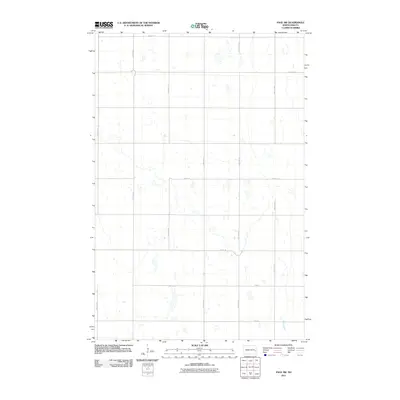
2011 Map of Page SW
USGS Topo · Published 2011About this map
Maple River meanders through the southeast corner of this rural township, defining the primary natural drainage in a landscape otherwise dominated by a grid of agricultural section lines. This 2011 survey illustrates a highly ordered North Dakota prairie, where the human footprint is primarily expressed through a network of local roads such as 131st Ave SE and 26th St SE. The map provides a clear look at the intricate hydrography of the region, featuring numerous small, scattered water bodies and wetlands that dot the fields between the arterial routes. The sparse naming of settlements or major infrastructure highlights the open, agrarian character of the area, making it a valuable tool for researchers tracking the preservation of the public land survey system in the modern era.
Find a feature on this map
14 named features on this map. Tap any name to fly to it.
Don’t see what you’re looking for? This feature index may not catch every label — zoom into the map to look around manually.
Map Details
Editions of this 2011 Page SW Map
This is the sole edition of this map. No revisions or reprints were ever made.
Other maps of this area

1897 · Tower
USGS Topo · 1:125,000

1952 · Grand Forks
USGS Topo · 1:250,000

1953 · Fargo
USGS Topo · 1:250,000

1956 · Fargo
USGS Topo · 1:250,000

1956 · Grand Forks
USGS Topo · 1:250,000

1966 · Grand Forks
USGS Topo · 1:250,000

1967 · Tower City
USGS Topo · 1:24,000

1967 · Pillsbury SE
USGS Topo · 1:24,000

1967 · Page SE
USGS Topo · 1:24,000

1967 · Page
USGS Topo · 1:24,000