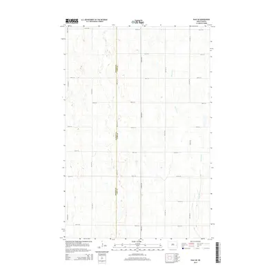
2014 Map of Page SW
USGS Topo · Published 2014About this map
The Barnes Co and Cass Co border defines the central axis of this prairie landscape, where the rural grid of North Dakota is interrupted by the winding course of the Maple River. Flowing through the eastern portion of the quadrangle, the river creates a distinct corridor of topographic variation against the surrounding agricultural plains. The map illustrates a highly organized section of the Red River Valley hinterlands, characterized by a systematic network of roads such as 132nd Ave SE and 24th St SE that follow the section lines of the Public Land Survey System. This 2014 edition captures the region's enduring agrarian character, showing the sparse distribution of farmsteads and the preservation of natural drainages within a landscape almost entirely dedicated to large-scale farming.
Find a feature on this map
17 named features on this map. Tap any name to fly to it.
Don’t see what you’re looking for? This feature index may not catch every label — zoom into the map to look around manually.
Map Details
Editions of this 2014 Page SW Map
This is the sole edition of this map. No revisions or reprints were ever made.
Other maps of this area

1897 · Tower
USGS Topo · 1:125,000

1952 · Grand Forks
USGS Topo · 1:250,000

1953 · Fargo
USGS Topo · 1:250,000

1956 · Fargo
USGS Topo · 1:250,000

1956 · Grand Forks
USGS Topo · 1:250,000

1966 · Grand Forks
USGS Topo · 1:250,000

1967 · Tower City
USGS Topo · 1:24,000

1967 · Pillsbury SE
USGS Topo · 1:24,000

1967 · Page SE
USGS Topo · 1:24,000

1967 · Page
USGS Topo · 1:24,000